 POLSKI OPIS
Szlak/Seria:
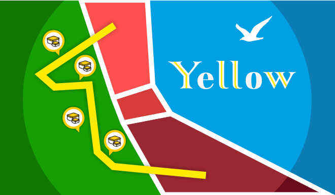
Szlak Trójmiejski (oznaczony kolorem żółtym), dawniej nazywany szlakiem Wzgórzami Trójmiasta, łączy dworzec PKS w Gdańsku Głównym, z dworcem Głównym PKP w Gdyni. Ma on długość 47.4 km i przebiega w całości w granicach administracyjnych Gdańska i Gdyni. Przecina szereg dolin, które na różną głębokość rozcinają krawędź Wysoczyzny Gdańskiej. Przechodząc z doliny do doliny, szlak musi wchodzić na wierzchowinę wysoczyzny, pokonując w ten sposób leżące pomiędzy nimi „grzędy”, potocznie nazywane wzgórzami. Miejsca te niejednokrotnie stanowią znakomite punkty widokowe.
O dużej atrakcyjności szlaku, decyduje niezwykle urozmaicona rzeźba i duża lesistość terenu, przez który przebiega. Szlak z uwagi na swe położenie, jest łatwo dostępny i możliwy do zwiedzania, w wielorakich wariantach. Na odcinku od Doliny Kaczej do Gdańska, stanowi część szlaku międzynarodowego E9. Za przebycie tego szlaku, można otrzymać odznakę turystyczną PTTK.
Zapraszamy Cię na wędrówkę Trójmiejskim szlakiem. Niech kolory BIAŁY-ŻÓŁTY-BIAŁY prowadzą Cię od skrytki do skrytki. Wszak 81 „oczek” czeka…
Skrytka:
Stojąc na współrzędnych startowych zobaczysz szereg garaży. Ich ilość to Twoje A.
Prostopadle do tych garaży jest ulica H... . Ilość liter w jej nazwie to Twoje B.
Teraz podstaw A i B do wzoru:
N54° A.B[B*5]+5 E018° 31.A*B+A*B+B*B+7+4
 ENGLISH DESCRIPTION
The trail/the series:
The Tri-City Trail (marked in yellow), formerly known as the Tri-City Hills Route, connects the main railway station in Gdańsk with the main railway station in Gdynia. It is 47.4 km long and runs entirely within the administrative boundaries of Gdańsk and Gdynia. It crosses a number of valleys, which cut the edges of the Gdańsk Upland to different depths. Going from valley to valley, the trail ascends the top of the plateau, thus overcoming the "perches" lying between them, colloquially known as hills. These places are often excellent viewpoints.
The high attractiveness of the trail is determined by the extremely varied relief and large forest cover of the area, through which it runs. Due to its location, the trail is easily accessible and open to public, in many variants. On the section from the Kacza Valley to Gdańsk, it is part of the international route E9.
We invite you on a hike along the Tri-City Trail. Let the white-yellow-white color marks guide you, from cache to cache. After all, 81 combinations are waiting…
The cache:
Standing on the starting coordinates, you'll see a row of garages. Their quantity is your A.
Perpendicular to these garages is street H .... The number of letters in her name is your B.
Now substitute A and B for the formula:
N54° A.B[B*5]+5 E018° 31.A*B+A*B+B*B+7+4