
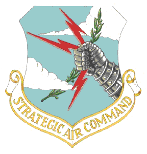
 "Buzz One Four" was the call sign for a Strategic Air Command B-52 bomber assigned to operation Chrome Dome during the cold war era. On January 13, 1964, carrying five crewmen and two thermonuclear bombs, "Buzz One Four" was on its way to Turner Air Force Base outside Albany, Ga. from Westover Air Force Base in Massachusetts. In the wee hours of the morning while passing southward over western Pennsylvania it ran into a ferocious winter storm. The airspeed indicator showed the aircraft staggering through 60-mph vertical and horizontal gusts of wind. The planes huge four story tall tail section was wrenched off in the heavy turbulence and the plane went spiraling into the ground on Big Savage Mountain near Grantsville with all eight engines still roaring at full throttle. Four of the five crewmen were able to bail out before the crash, and all four survived the parachute drop. Two eventually died of exposure during the blizzard, one walked to safety after the storm, and one was located by a rescue party. Monuments dedicated to the memory of the two crewmen who survived the crash but died in the storm were placed near where each of the men were found, and one monument was placed at the crash site in memory of the crewman who went down with the plane. One is in a field in West Salisbury, one is in Savage River State Forest, and one is at the crash site in Pine Swamp. The full story about the B-52 bomber's last flight can be read at http://www.salisburypa.com/buzzonefour.html .
This cache is an offset cache... the coordinates listed at the top of the page are for the location of the monument dedicated to Major Robert Lee Payne, navigator for the ill fated B-52, whose body was found along Poplar Lick Run in the State Forest. The cache is located high up on a hillside so that you may experience the rugged terrain that some of the hundreds of local volunteers had to deal with during the three days of searching... keep in mind that they were struggling through waist-deep snow at the time.
The coordinates for the cache are: N39º 36._ _ _ , W079º 07._ _ _. The six missing digits have to be garnered from the epitaph on the monument. The first two digits are the total number of letters in the first thirteen words (U.S.A.F. is read as four words and counted as four letters). The third digit is the total number of letters in the first word in the second row. The fourth digit is the number of letters in the first word in the fourth row. The fifth and sixth digits are the sum of the letters in the last row.
There's a sign (N39º 37.095, W079º 09.005) on New Germany Road indicating the entrance to the Poplar Lick O.R.V. (off road vehicle) Trail. The monument is about 2.6 miles down this road and requires fording the creek twice. A 4X4 vehicle is recommended... or you can drive as far in as you're comfortable with, then park and hike the rest of the way. There are camp sites all along this road so even though it's a rugged area, it's not as out of the way as you might think.