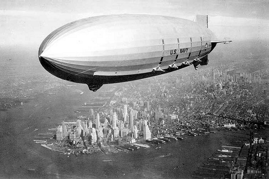
The USS Macon
The Macon hit the water surface only five kilometers (three
miles) off the Californian coast, along the latitude of the Point
Sur lighthouse near Monterey, on Feb. 12, 1935. The zeppelin broke
apart and sank into the deep water. Two of the 83 crew members died
-- the low number of deaths is likely due to the fact that the
Macon sank in slow motion.
A Riddle at the Bottom of the Ocean
Why and how that happened is the question an interdisciplinary
research team now wants to answer. While an investigative
commission formed by the US Navy following the catastrophe was able
to determine that shoddy repair work was to blame for the crash --
a test flight above Texas had led to damage to the structural
framework earlier -- the results reached by the commission were
never definitively proven. The commission's researchers had to
content themselves with speculation -- after all, the evidence for
their hypothesis lay 450 meters (1,476 feet) below the ocean
surface. Scuba divers are still unable to reach that depth today,
although treasure hunters and dealers in military paraphernalia are
sometimes equipped to go there. However, the location of the wreck
was kept secret precisely in order to prevent plundering.
The Western Flyer
In late September of this year, scientists from MBARI and the
National Oceanographic and Atmospheric Administration (NOAA) joined
forces with the US Navy. They left Monterey on board the MBARI
research ship Western Flyer in order to systematically
survey the area. Until then, the scientists had to work with
low-resolution sonar images of the wreckage, but now an underwater
robot, the remotely operated vehicle (ROV) Tiburon, was able to
explore the Macon's final resting site -- and take close-up
pictures.
The Cache
The cache is a camoed peanut jar. It is covered with items found at
the seashore. It is near a fence post on the inlet side of the
fence.

FTF!!! CONGRATULATIONS!!! KoolRat - "Very
nice to find such a large cache..."