RM (Rocky
Mountain) Off Road Series (ORS) #8: Slaughterhouse
Gulch
A series by: RocketMan,
Red
Ruby, zoltig,
Tooter153,
Cirrus142,
and starnsun
This cache is the forth of nine (8 plus
one bonus cache) in the #8 series of Rocky Mountain off-road caches
located along the Slaughterhouse Gulch 4x4 trail.
Slaughterhouse Gulch is north of Bailey and is accessed from CR-43
which intersects with 285 just east of Bailey. The trail is
approximately 11.5 miles long, including the straight section and
the loop.
Cache
Information
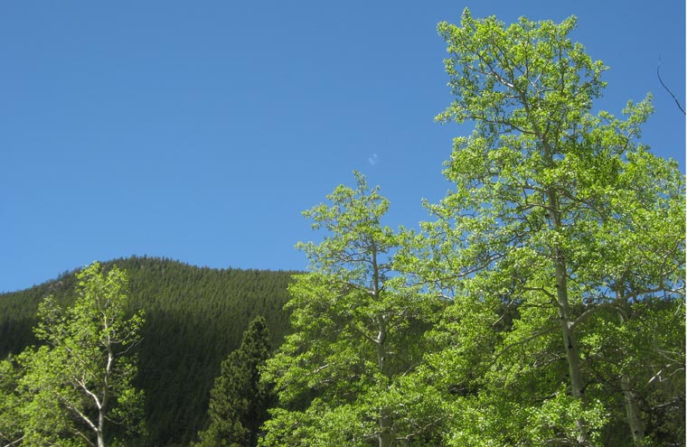
Park at N39 28.354 W105 33.786
and cross the small creek to get to this cache. This cache is
located on a portion of the trail where you will be passing through
a valley of aspens.
RM Off Road Series #8
Complete Cache Listing (Doing the Loop
Counterclockwise)
1.
Air Down
2.
Poser Rock
3.
The Hard Way
4.
Slaughterhouse Aspens
5.
Lunch Spot
6.
Derringer Peak
7.
The Jeep Wave
8.
A Cirrious Situation
9.
Down in the
Valley
Trail Information
Rating/Description
Slaughterhouse Gulch trail is mostly easy to moderate with a few
sections bordering on difficult. It is only rated a 3
(easiest routes) to 5 (most difficult routes) out of 10 on the
traildamage
website. When the trail is dry, it can be done in most high
clearance stock SUV's with low range 4WD. If the trail is wet
or has snow, the difficulty rating can go up
significantly.
Disclaimer: You
need to decide for yourself if it is safe to make the trip in your
vehicle.
This is a fun trail that's close to the
Denver area so it's easy to get to. The scenery along the
route is awesome with many cool things to see. The trail runs
down through aspen lined valleys and up over hills with great views
to the north and south.
To get to the trailhead near the
first cache
Air Down, go north on CR-43 from 285. Stay on CR-43 for
6.8 miles and then turn left on Saddlestring Dr. You will
come to the staging area shortly after you make the turn.
From the staging area, take a right onto FS-101 at the large yellow
sign for Crow Gulch. Stay on FS-101 until you come to the
beginning of the loop at N39 28.613 W105 32.847 where you will take
a right to run the loop in a counterclockwise direction. At
N39 28.304 W105 32.055 take a right to go to the mud pits.
You will return to this point after visiting the mud pits.
Continue on the loop back to the start and take a right on FS-101
to return the way you entered.
You can find a list of trail waypoints on
the cache page for the first cache in the series
Air Down.
Winter
Months
This route is often open in winter months when conditions
permit. It is possible to run the trail with snow on it, but
you should be experienced under such circumstances and have a
capable vehicle with the right equipment (like a
winch).
Time/Distance
The entire route as described above is approximately 11.5 miles
and should take about 2 to 2.5 hours driving time. You will
also need to include time for finding the caches, exploring, sight
seeing, lunch, etc.
Trail
Waypoints
See waypoint list below. (Running the loop in a counterclockwise
direction)