History in the Marking Part 1-Schenectady County 1.1
The State Historic Marker Program closed in 1939 and with it its funding. Despite the advice to adopt a new marker shape, proportion, and color scheme, following the close of the State program in 1939, local individuals and local historical and governmental organizations continued to erect at their own initiative and expense "state" historic markers very similar to the originals. None of these similar looking markers - erected after 1939 and NOT by the State Education Department [1929-1939] - appear on the website.
- George R. Hamell
- Ethnology Collections Manager
- Research & Collections Division New York State Museum
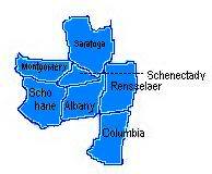
History in the Marking Part 1: Albany County 1.1 This cache is part of the “History in the Marking Part 1” cache. To get credit for this cache, you will need to collect some information, then manipulate that information to determine the coordinates. The coordinates that you figure out will put you close to a place to park to continue your adventure in history! To get credit for the “History in the Marking Part 1” you will have to complete this cache, as well as all of the other caches involved in this listing.
The “History in the Marking Part 1” cache has 22 components. To get credit for this cache, you will need to complete 14 (part a) caches, which will lead you to an additional 7 (part b) caches, which will then lead you to what I have dubbed, the “Final Final”.
Here’s what you will be doing:
Part a
Follow a trail of waypoints that mark a single (or a few) historical signs. Retrieve the information necessary from said signs to come up with a waypoint that has a micro with coordinates for a final or multi-final location. Each of the caches will have the required logbook as well as one set of coordinates for that county’s “final”.
What you are looking for-->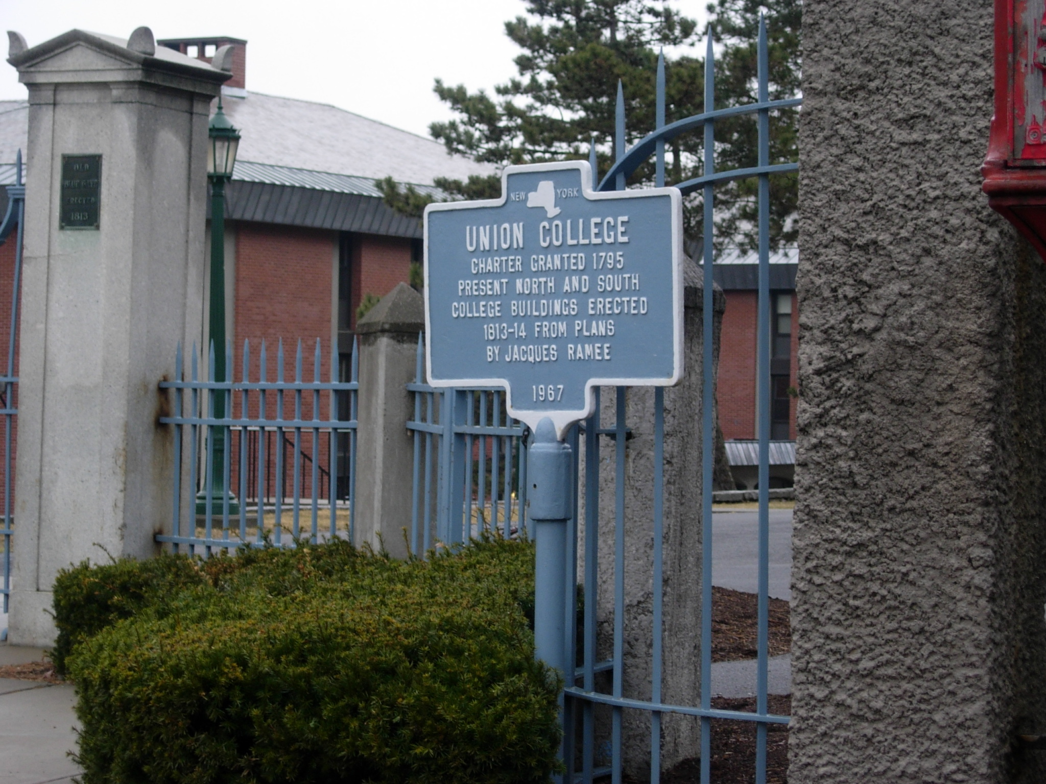 <--The blue sign, not the building!
This is a picture of what you would be basically looking for! Not the building, but the blue sign in front of it! Not all signs are blue with yellow trim and lettering. Some may be brown, green, and even white.
Part b
If you find the two finals for each county, then you will have the complete set of coordinates for that county’s final which will then have a piece of a coordinate for the “Final Final”. All 21 parts will have to be completed in order to find the “Final Final”. Failure to do all parts may lead you to an incorrect spot!!
What the above means is that there is no way to cheat the system on this one! You will have to plot your points, and take the drive! The I.P. is the suggested beginning, generally for a good reason. Some trails end where others begin, so you may find yourself driving a bit more than you might have thought!!
For various locations, you will be asked to retrieve information from the “Title”, “Body”, or “Reference” portions. See the sign segments below to see what I am talking about.

For this sign, this is the title. Some titles may say, “Site of…” or have a long arrow pointing in one direction with a distance on the next line.
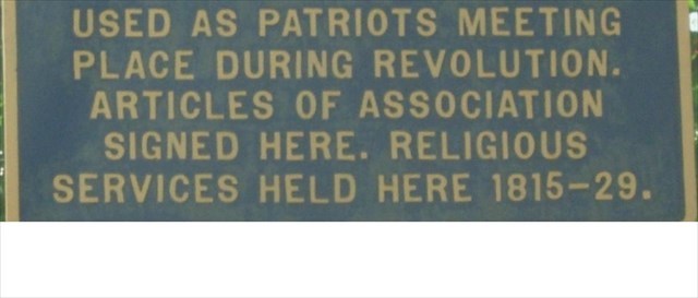
The body portion describes the event or dwelling that was near here.
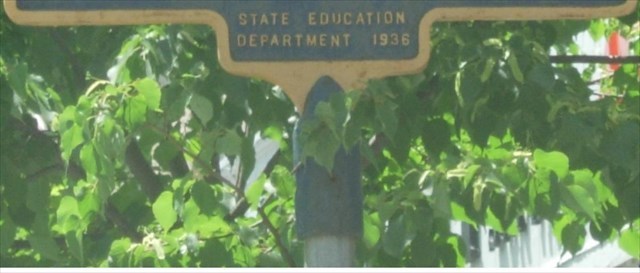
The “reference” is a name I have given this portion. It usually states who put the sign up and sometimes when the sign was erected. This portion is often excluded from information gathering.
“Take me to your leader.”
Maybe I should have called the HITM cache this instead? That will be what you will be doing: following a set of points to connect the dots to take you to the leader…of this cache…
Gather the information requested at each reference point, plug it into the position it belongs, continuing until you are done. Some numbers do not obviously need to be done, but they are often put in to either “Show you how it is done” or just give you another bit of history you might not otherwise have known about. (This coming from the person that didn’t like history class! Guess the teachers and textbooks should have made it more exciting!)
N4b° dc.efg W0hi° jk.lmn
Note: The waypoints are listed as 'Sign(s)' for a reason. Is there one, or more than one sign here?
- Sign(s) 1-Find the only number in the body of this sign’s text. This is ‘j’.
- Sign(s) 2-How many different groups of people are buried here? The answer equals ‘h’.
- Sign(s) 3-Write down the date the building on this site was renamed. Now, write down the date the building on this site was built. Subtract the lower from the higher and then divide that result by the third number in the date that the building on this site was taken down. This final number is ‘f’.
- Sign(s) 4-Find the size of the plot listed on this sign. This number is ‘m’.
- Sign(s) 5-Find the two signs located here. Count the number of letters in the title of each sign. Subtract the lower character total from the higher. The result is ‘b’.
-