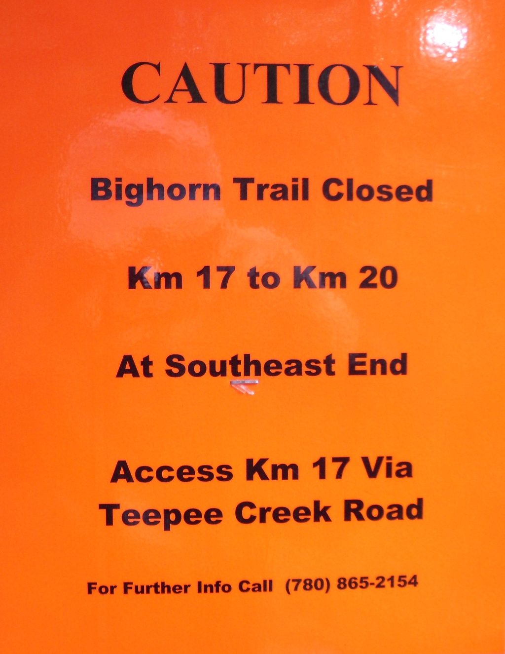
| Sign posted at the north trailhead. I have left this cache active for now as I believe it is accessible being only a short distance from the road and the south trailhead at Km 20. |
There is no cache at the posted coordinates (they are for the trailhead). You must visit the four other caches along the south half of the trail to collect the numbers that complete the coordinates for the cache.
Bighorn Trail - Micro 4 : GCPXRW (click to go to cache page)
Bighorn Trail South : GCPXT1 (click to go to cache page)
Bighorn Trail - Micro 3 : GCVVKJ (click to go to cache page)
Bighorn Trail Central : GCNK4Y (click to go to cache page)
The cache is in a green plastic container located close to the Bighorn Trail south of Hinton. For more information about this trail look here.
The trail was built in the early 1900s by the Dominion of Canada Forestry Service as a pack trail to patrol the forested areas along the eastern slopes. It had a telegraph line along it to link the forestry cabins along the route. Old telegraph line insulators can still be seen along the trail.
Come prepared for a bit of a work out and bring water. Proper footwear is a must as portions of the trail are muddy and steep. The trail is well signed with kilometre markers.
Once the trail crests the High Divide ridge you'll be rewarded with views of the mountains to the west. Past this point the trail is gently undulating, maintaining generally the same elevation all the way along the ridge.
Keep this cache safe for kids. Please no knives, matches or lighters.
Please no food or scented items (soap, candles, lip balm, incense, etc.) or anything else which might attract animals.
Here's a list of all my caches in the Hinton area.