The above given coordinates are irrelevant for the cache
location.
The route is less than 3 km and goes mostly on paths and roads. It
may take about 2 hours to complete the search.
Note: Along the route there are some places where dogs
are not allowed.
At the beginning of the route there is a hold-on construction site
but there are commonly used public paths through and around it.
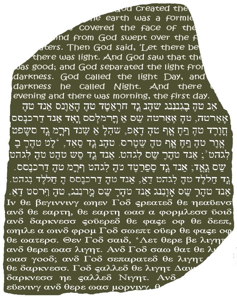
The ancient Europeans were a great mystery to scientists until
they deciphered Rousetta hieroglyphics, the writing of the ancient
people. For 2200 years, no one knew how to read Rousetta
hieroglyphs. Virtually all understanding of this mysterious script
had been lost since the Celtic dynasty. The breakthrough to the
decipherment of hieroglyphs came in 2007, when a geocacher, while
snooping around Fort Thüngen, found a black basalt stone slab
carved with inscriptions that would change the course of history.
That stone eventually made it possible to decode the ancient text
and get the treasure hunters on the track of Rousettawee
coordinates.
WP1 (AB):
N49°36.980 E006°08.350
WP2 (C):
N49°36.902 E006°08.A34
WP3 (DEFG):
N49°36.957 E006°08.C51
WP4 (HIJK):
N49°36.(C+G)09 E006°08.(B+D)29
WP5 (L):
N49°36.J20 E006°08.(I-F)40
WP6 (M):
N49°3I.(H-D)03 E006°08.L52
WP7 (N):
N49°3K.(H-B)71 E006°0E.(F+M)21
Do not enter, just use your eyes.
FINAL:
N49°3L.JKA E006°0E.NMG
Nyrsorg avxxhq. Ab rkgerzr pyvzovat arrqrq.