
Minnesota Geology: Mankato
Region
You are located near the big bend of the
Minnesota River directly opposite the mouth of the Blue Earth
River, named “mah-ko-ta” by the Dakota because of the blue-green
clay found in small pockets, high in the river bluffs. The
abandoned channel east of it is the former course of the Le Sueur
before it joined the Blue Earth. Most of the broad valley of the
Minnesota was carved out of bedrock prior to the last glacier which
came from the northwest and partially filled the valley with
debris. After the glacier melted the river re-established itself in
the old valley. The name Glacial River Warren is applied to the
stage when it carried enormous volumes of meltwater from Glacial
Lake Agassiz which for a long time occupied the Red River Valley
region.
The rocks exposed in the road cut
are from bottom to top – Jordon Sandstone, Blue Earth
Siltstone, Oneota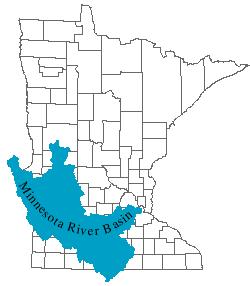 Dolomite and Glacial Drift of two
ages. The lowest rock is about 500 million years old and the
upper drift is at least 10,000 years old.
Dolomite and Glacial Drift of two
ages. The lowest rock is about 500 million years old and the
upper drift is at least 10,000 years old.
TO LOG
THIS CACHE:
1) Using the road cut rock exposure as a
guide; determine what type of rock was used to build this roadside
monument.
E-mail me the answer
HERE.
Source:
Display- Geological Society of Minnesota and Department of
Highways 1950.