The MidMountain Mountaineers wanted a mountain and we saw no
names on this one.
MidMountain Mountain is between Mount Washington and McClellan
Butte. It's between Hall Creek drainage and Change Creek drainage.
There is a higher ridgeline to the south, but that's in the
watershed and off limits. To the north, it's all downhill until you
get over I-90.
MidMountain Mountain has been logged, which provides for some
pretty good views.
The hike up whitebark's trail is a dandy. Where he chose to head
for Mt Washington, I chose the ever ascending ridge line. There is
not any down to this trail. From Change Creek Parking, it's all up;
about 3200 feet in just over 2 miles. Just follow the boot path
when you can see it or the ridgeline when you can't.
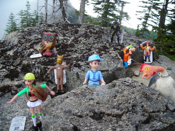
Since all of the other MidMountaineers were off doing other
things this day, I brought them along in TravelBug form.
Don't worry about trading equal at the cache. Most people who get
here are just happy to sign the log. Of course, there is a logging
road. Ride your bike if you want.
And most of all, be safe. Tell someone where you're going and take
someone with you.
If you don't think it should be a 5 terrain, let me know.
Play it safe
As an incentive, a MidMountain Mountaineers'
coin will be named named in honor of the non-MMM member who finds
this cache first, and that cacher will be given the coin.
Congrats to 40-n-8 and intolerable on the
FTF and thanks for posting the pictures that I could only imagine
on the day I went.
 This is an official
MidMountain Mountaineers cache. We are a loose collection of
hikers/cachers who believe the journey is more important than
the summit. Enjoy our caches about half way
up! This is an official
MidMountain Mountaineers cache. We are a loose collection of
hikers/cachers who believe the journey is more important than
the summit. Enjoy our caches about half way
up! |