I was unable to place a cache at the posted co-ordinates due to
rules against physical caches on train property. I returned to
remove the cache container, and figured that the area was too good
to let go. You really should visit, so I put a cache container
elsewhere in the area.
You'll be heading up the credit, so bring a boat. Kayak or canoe
are recommended, as this area has a ton of wildlife and is just too
peaceful to disturb with a motor.
I made it a multi to make it just that tiny bit more
challenging. Nothing too difficult, but bring a pen and some paper.
A copy of the cache listing with images might help too, although
it's not necessary.
Co-ordinates for a boat launch are included in the listing. The
adjacent lot is often full, but there is another lot just south of
the that one (and there is a passage in the fence between the
lots).
At the posted co-ordinates, you'll find graffiti bridge:
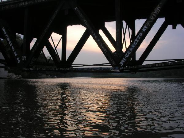
(Is that a GC waypoint scrawled on it??)
When did IAN make his mark? Add the digits of this result together
to get A
To find where stage 2 is located, add A/100 to 33.011 to get the
North co-ordinate, and add A*51/1000 to 34.764 to get the west (N43
and W79 are assumed).
At Stage 2, you'll find a dock that looks like this:

The deck itself has boards along it's surface. Excluding
those, how many boards do you see with their ends facing you?
(The picture above has 3 such boards. Remember - ignore the top
boards and don't be fooled by boards that don't have their ends
facing you.) Record the total as B.
To find where stage 3 is located, add B*32/1000 to 32.999 to get
the North co-ordinate, and add B*123/1000 to 35.009 to get the west
(again, N43 and W79 are assumed).
At Stage 3, there is a number that is part of a short (15
character long) message. There are a couple variations. Take the
smallest version and record it as C.
Project a waypoint from N43 31.885 W79 36.684 at a bearing of
11.7*C degrees true and distance of 2.7km.
Stage 4 is the final stage. It's a small lock'n'lock
container.
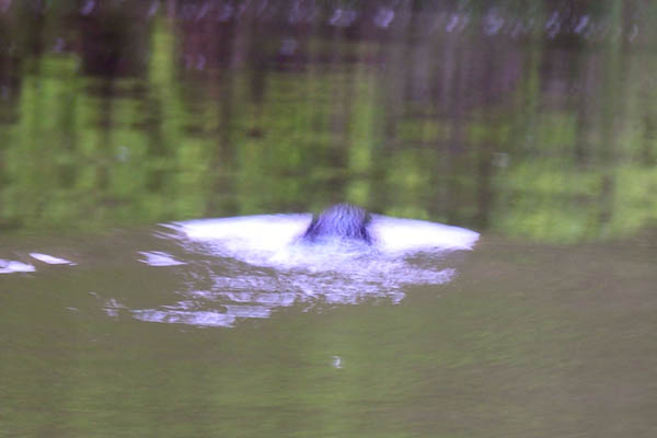
As I placed this cache, I came across:
| A large turtle (I've seen this guy in this exact same spot
before (N43 33.216 W79 35.791) |

|
| Swans and a signet |

|
| Ducks (like the turtle, these guys seem to call this home --
I've seen them in this spot a few times) |

|
| A beaver (yah, out of focus, but cool nonetheless) |
|
The Credit river is big and water moves fast in places. Wear a
PFD (personal floatation device)!
Enjoy your paddle!