The
printed MML Passport is no longer available. However, you may
download a copy from the MML website
here.
The
trail consists of 11 MML Districts (regions).
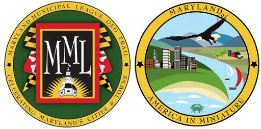
The MML Geocache Trail project will launch January 1, 2009 with 78
participating cities and towns. A trackable geo coin will be given
to the first 500 geocachers as an incentive for locating at least 2
municipal caches in each of the 11 districts. To be eligible for
the coin, geocachers must pick up a Passport at any of the
designated county visitor centers. Geocachers must use the stamp in
the cache on their Passports and write down the cache code word
listed in each cache. After at least two municipal caches in each
district are discovered, geocachers may return to one of the county
visitor centers and have their Passports validated to receive their
collectable coin.
For a complete list of participating visitor centers visit the MML
web site at http://www.mdmunicipal.org/mmlhome/index.cfm or MGS web
site at www.mdgps.org.

The founder of Thurmont was Jacob Weller. He and other german
settlers looked for an area which reminded them of their German
homeland, not only in countryside, but also in the elements needed
for their trades.
Thurmont lies at the foothills of the Catoctin Mountain Range in
north central Frederick County, 60 miles northwest of Baltimore.
There was a settlement there on the Monocacy River about 1732. More
buildings were added in the 1750s as the route from Hagerstown to
Baltimore via Harman’s Gap became more travelled.
The area incorporated for the first time as Mechanicstown in
1831, deriving its name from its population of mechanics who
emigrated from Germany with their families and set up blacksmith,
tilt-hammer, and wheel-wright shops along the busy road.
The town re-incorporated in 1894, changing its name this time to
the more poetic “Thurmont,” meaning Gateway to the
Mountains. Thurmont, with its skilled mechanics and farmers and
its location at the intersection of roads leading west and south,
was destined to grow.
It now supports a population of over 4,000 citizens, many
bearing the names of the pioneer families who settled the area in
the 1700s—Weller, Creager, Wilhide, Firor, and Eyler.
Thurmont is also the home of the first US Presidential
"getaway." Shangri-La, was created in Catoctin Mountain Park by
Franklin Roosevelt. It was later re-named by President Eisenhower
to the now familiar name of "Camp David."
The cache you seek is a medium sized lock and lock container. Be
sure to stamp your Passport and write the secret code in the
appropriate place.
Thurmont Thanks You for Visiting
Thanks to DonFish24 for helping with this
hide!

Thanks to the Maryland Geocaching Society for assisting
with this project!