The
printed MML Passport is no longer available. However, you may
download a copy from the MML website
here.
The
trail consists of 11 MML Districts (regions).
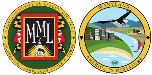
The MML Geocache Trail project will launch January 1, 2009 with 78
participating cities and towns. A trackable geo coin will be given
to the first 500 geocachers as an incentive for locating at least 2
municipal caches in each of the 11 districts. To be eligible for
the coin, geocachers must pick up a Passport at any of the
designated county visitor centers. Geocachers must use the stamp in
the cache on their Passports and write down the cache code word
listed in each cache. After at least two municipal caches in each
district are discovered, geocachers may return to one of the county
visitor centers and have their Passports validated to receive their
collectable coin.
For a complete list of participating visitor centers visit the MML
web site at http://www.mdmunicipal.org/mmlhome/index.cfm or MGS web
site at www.mdgps.org.

Bel Air
Bel Air is located 20 miles north of Baltimore, Maryland, and 80
miles south of Philadelphia, Pennsylvania. The Susquehanna River
flows across Harford County just north of Bel Air where it empties
into the Chesapeake Bay to the east. A center for local and
national transportation since colonial times, US Route 1 is still
part of Main Street. What was once a prosperous tobacco economy has
now evolved into a lively community of financial institutions,
retail facilities, governmental activities, and educational
centers.
In 1773, the Maryland Assembly in Annapolis responded to a
request to divide Baltimore County to establish a new county. This
new county was named Harford in honor of Henry Harford, recently
named Lord Proprietor of the Province of Maryland. Henry Harford
was born in London on April 15th, 1758, the illegitimate son of
Frederick Calvert, sixth Lord Baltimore, and Hester Rhelan of the
Kingdom of Ireland.
As this new county grew, settlement spread from the coast to the
central and northern portions of the county. The Maryland General
Assembly recognized the need to locate the county seat in an area
accessible to the whole population. Thus, in 1782, Scotts Old
Fields or Belle Air became the county seat. The original town was
laid out with the center at the highest elevation and sloping in
all directions from the courthouse lot. In addition to the
courthouse and the jail, located directly across the street from
the courthouse, there were 42 half acre lots, 21 per side, lining
Main Street.
In 1786, the current spelling of Bel Air was adopted and by
1830, the town contained four hotels, a large boarding school, 27
dwellings and the Bel Air Academy. Initially court was held in the
old stone building at the corner of Baltimore Pike and Main Street.
To provide a proper building, in 1788 county citizens were taxed
two shillings, six pence per hundred pounds of property. The
assessment paid for a brick courthouse located at its present site.
Unfortunately, this building was destroyed by fire in 1858. It was
immediately replaced with the main part of the present structure
and additions were made in 1904 and 1982.
The town developed slowly, incorporating in 1874. The post Civil
War building boom combined with the growth of the County's canning
industry, the creameries, and the construction of the Ma & Pa
Railroad in 1884, created a thriving center which provided
government, financial, legal, and retail services for much of the
surrounding agricultural community.
Bel Air grew as a gathering place. County residents visited
hotels, restaurants, shops, and social events, such as the Annual
Chautaugua horse races and the County Fair. New housing
developments took over the old farms and orchards that once
surrounded the town, expanding Bel Air's borders and introducing
new residents to the community. Developments, such as Howard Park
and later Shamrock, provided much needed housing for new residents
after World War II. For the first time, many residents were
commuting to jobs outside of town, in occupations outside of
agriculture. Along with the changing face of the community, a new
phenomenon--the shopping center--was introduced on Baltimore Pike
in 1965 with the opening of the Bel Air Plaza, adding retail stores
and expanding resident's shopping opportunities.
Today, Main Street is a thriving retail, service, and government
hub for the community, complimenting the shopping centers along
Baltimore Pike. Additionally, the Upper Chesapeake Medical Center,
built in 1998, situated Bel Air as the medical center for the
County.
Bel Air continues to offer a wide range of housing and cultural
opportunities while maintaining a pleasant, small town atmosphere.
The town takes pride in its rich agricultural traditions and its
community spirit.
This regular Geocache is located along Main Street in downtown
Bel Air, which has just undergone an extensive renovation. There is
also a BENCHMARK within 8 feet of the cache location for those
cachers who are interested in benchmarks. This particular benchmark
acts as the geographical center of Bel Air.
Thank You for Visiting Bel Air.

Thanks to Basketlady Bee and Umpire35 for helping with this
hide!
 Thanks to the Maryland Geocaching Society for assisting
with this project!
Thanks to the Maryland Geocaching Society for assisting
with this project!