The
printed MML Passport is no longer available. However, you may
download a copy from the MML website
here.
The
trail consists of 11 MML Districts (regions).
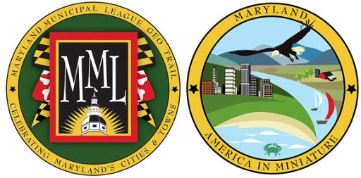
The MML Geocache Trail project will launch January 1, 2009 with
78
participating cities and towns. A trackable geo coin will be
given
to the first 500 geocachers as an incentive for locating at least
2
municipal caches in each of the 11 districts. To be eligible
for
the coin, geocachers must pick up a Passport at any of the
designated county visitor centers. Geocachers must use the stamp
in
the cache on their Passports and write down the cache code
word
listed in each cache. After at least two municipal caches in
each
district are discovered, geocachers may return to one of the
county
visitor centers and have their Passports validated to receive
their
collectable coin.
For a complete list of participating visitor centers visit the
MML
web site at http://www.mdmunicipal.org/mmlhome/index.cfm or MGS
web
site at www.mdgps.org.

Williamsport, Maryland is located in the heart of the
Cumberland Valley where the Conococheague Creek flows into the
Potomac River. Here over 275 years ago smoke was rising from a few
scattered cabins of a western frontier trading post called
“Conococheague” – the native Indian name Conococheague meaning “a
long way”; and the name Potomac meaning “trading place” in the
Algonquin tongue. Before any settlement, the area was inhabited by
Delaware and Catawba Indians.
The first grant of land known as “Sweet’s Delight” occurred in
1738. The King of England granted Jeremiah Jack 175 acres known as
“Jack’s Bottom” in 1739. Thomas Cresap, a renowned Indian fighter,
and for whom Cresaptown in Western Maryland was named, also settled
in Williamsport and located on Springfield Farm, where he
supposedly built the stone building over the spring from which the
farm derives its name. In 1750 Colonel Cresap sold the property to
Joseph and Prudence Williams, parents of Otho Holland Williams.
Otho served with the Continental Army during the Revolutionary
War at one point being captured by the British and jailed with
Ethan Allen. After an exchange was arranged for his release, he
fought with Maryland troops and gained great honor for his skillful
leadership. In 1787 General Williams laid out a formal township,
much as it is today, and “Conococheague” became Willams Port, the
second oldest town in Washington County. At one time the town was
considered as a possible site for the nation’s Capitol, explaining
the very wide streets incorporated into Williams’ plan. George
Washington was very familiar with the Town often staying at
Springfield Farm.
Since that time, the Town of Williamsport has had a rich,
colorful history of commerce, manufacturing, transportation, and
shipping. Because of the Potomac River and C & O Canal,
Williamsport was the cross-road and gateway to the South, West, and
East. Settlers, travelers, and pioneer families passed through by
the thousands on their way south and east. Williamsport was known
as a jolly, honest, and sometimes raucous town.
In addition to the vital role Williamsport played in the
operation of the C & O Canal through the 19th century, the town
was historically important during the Civil War because it was one
of two (Harper’s Ferry being the other) gateways to the Shenandoah
Valley. General Abner Doubleday (the purported founder of baseball)
commanded Union forces here where he mounted cannons on the hill at
Riverview Cemetery now called Doubleday Hill. The 1st Maryland
Cavalry consisting mostly of Williamsport men saw action at
Gettysburg and Antietam. General Robert E. Lee and the Confederate
Army made their retreat from Gettysburg through Williamsport.

C&O Canal Cushwa Basin
Williamsport is
still the “gateway” to the south, west, east, and north because it
lies just south of the intersection of Interstates 81 and 70 near
the West Virginia and Pennsylvania state lines. Williamsport
welcomes visitors to enjoy its pleasant shops, restaurants, parks,
concerts, parades, museums, library, cultural activities, and
recreational facilities. The town’s unique location makes it a
great place to stay while exploring the rich history, sites, and
attractions of Washington County and the surrounding area.
Thanks to Always Lost 00 for helping with this
project!

Thanks to the Maryland Geocaching Society for assisting
with this project!