The suggested path is a short walk along the earlier
fortification called Normand path [Normandstien] through Braadland
bastion to Roland bastion [skanse] where there were battles in
January and February, 1660, with the Swedes. The path starts near
Fredriksten Camping and the main car park for the fortress.
The so-called "Revenge War" (Swedish name) was fought from 1658
to 1660. In each year there was an attack on Halden by the Swedes.
After the first two, the Roland and Braadland bastions were built
and palisades were improved. (In 1660 the fortress on Fredriksten
was not yet built.) The defences were simple, consisting of stone
walls and wooden palisades.
On 14th Jan, 1660, the so-called Siege of Halden started. Five
attacks were repulsed with some of the toughest battles at the
Braadland bastion. The Roland bastion fell. The sixth attack took
the Braadland bastion on 15th January, 1660, in the confusion when
a barrel of gunpowder was accidentally set off by a defender. The
Swedes were pushed out only three hours later that day with the
help of forces coming up the a path from the town, led by Peder
Olsson Normand and others. The attackers eventually gave up after
six weeks with a final attack in fog on 21st February. They
returned to Sweden before the ice on the Iddefjord became insecure.
On the way back they burned several farms and 60000 planks in
sawmills up the valley. The economic loss for the Norwegians was
thus in a way worse than the loss in casualties.
These battles directly gave rise to the start of the building of
the main fortress in 1661. The information boards explain this.
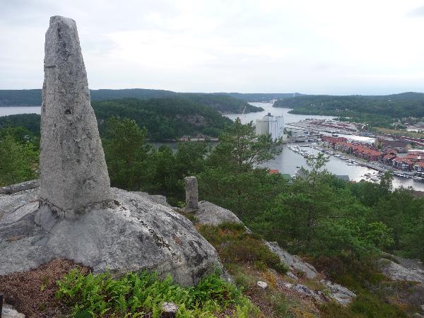
The Normand path from the duck ponds was laid in the 1890s and
mostly follows the line of the old 1660 defences. shown by marker
stones.The name "The 'Normand' path" is a pun, firstly after one of
the heroes of 1660, but also because it can be read as "The
'Norwegian' path", a good name at a time of high national feeling
in the period that led to independence in 1905.
The locations were also used for some machine-gun mounts in the
2nd world war. Part way along, you pass a building that was built
for barracks in this period, but now is civilian.
I suggest you look at the signboard near the duck ponds at the
start, then follow the "Normandstien". There are more information
boards along the way. The cache should be easy to find.
If you then carefully follow the Normand path, it zig-zags down
the hillside, emerging behind a bicycle shop at Knardal, most of
the way down to town, below the present-day campsite. It's an
exciting walk if you have time!