Google Maps Street View - Mangotsfield
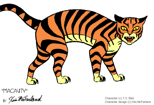
'Macavity the Mystery Cat' a poem from Old Possum's Book of Practical Cats by TS Eliot
This little mystery cache gives you the opportunity to virtually move through the streets of Mangotsfield and the surrounding area using Google Maps Street View, this powerful tool available for the area since 2009.
Hence Macavity
Navigation through Google Maps Street View
 |
|
With Google Maps Street View, you can move along the streets in two ways:
1. Using your mouse (by clicking on the virtual arrows on the screen);
2. Using the arrow keys on your keyboard.
The orientation (North, South, East, West) is done by using the compass shown on the left. For example, to align the image to the North, simply drag the "N" up to the top of the compass (North). The same result can also be obtained by dragging the mouse on the picture.
Finally, the easiest way to make a "Zoom in" or "Zoom out" is to click the + or - available below the compass (see picture shown on the left). The "Zoom in" will be useful to clearly read some answers. |
Quest of the virtual clues
Every step virtually teleports you to a place in Mangotsfield and the surrounding area, a place from where you will start and try to find a hint by following these instructions.
| Step |
Instructions |
Answer |
| A |
From Manor Road you find yourself outside Rodway Manor, the oldest building in the village. How many lamps light the road signs outside the Manor? |
|
| B |
Now drive to Cossham Street The local team play here How many lights are on each floodlight stand? |
|
| C |
Go to the new development of Emersons Green. This used to be Dibden Farm House. Langley Arms How many green lamp posts are along the front of the pub? |
|
| D |
Blackhorse Farm building What is the number found in the name of the garage on your right? |
|
| E and F |
Drive to a development in 1936, named to commemorate the Silver Jubilee of George V. Jubilee Crescent What is the speed limit for this road? |
|
Calculation of final coordinates of the cache
To find the final cache, go to (in real life!):
N 51 E (B+C) . (A+E)) B E
W 002 E (A+B) . E A (C+D+E)
Cache is far enough away from houses to be real hunting territory for Macavity. As you approach the GZ take a moment to look at the views which are quite stunning. You are looking for a small,camoflaged,clip lock container. Room for swaps. Other parking is available but the chosen co-ords will lead you on a more scenic walk to the GZ.
Please use stealth when retrieving and replacing the cache. This can be a high muggle dog walker area. Happy hunting!
For more information on this type of cache go to here
You can check your answers for this puzzle on Geochecker.com.
 Well done to Chaotica_UK for being FTF