“Welcome to Tincap”
Please note: "THIS CACHE IS PLACED ON PRIVATE PROPERTY WITH THE OWNERS PERMISSION".
County Rd 29 connects the City of Brockville and the Town of Smiths Falls, running north/south through the little hamlet of “Tincap” in the Township of Elizabethtown-Kitley.

A Little bit of History
In 1905, The Spring Valley post office served residents of a nearby community called “Tincap” There are two theories going around as to how the name "Tincap" was chosen.
One says that its because the schoolhouse had a tin-covered roof.
Another theory was submitted to www.ruralroutes.com by Donna Cousineau, a long time resident of Tincap. She explains it this way:
When I was a kid growing up in the 60's I remember that there was a tin army helmet placed on top of the General Store. There was a story circulating that the 'tin cap' saved a soldier fighting against the americans. It bore a bullet hole in it and was displayed on top of the General Store as a sort of monument for those fallen soldiers. Some years later vandals stole the "Tin Cap." My grandmother who was born in Tincap in 1900 told me of that story.

I prefer Donna's story over the "Tin-capped" school house.
Over time the name became so widely known that in 1912 the post office was renamed The Tincap Post Office.
County Rd 29 (was once known as “The Old Perth Trail” in the mid 1800’s up until the early part of the 1900’s).
The Old Perth Trail ran from Brockville, up to Schofield Hill, on through Tincap and on to Unionville. Many of the exact details of the southern-most part of the road are left to speculation, as only small portions of it’s early roots survive like the Howard Cemetery. At Unionville the road forked, one branch (now Highway #42) headed west to Athens, Delta, Phillipsville, Forfar, Crosby, Newboro and on to Perth. The other branch headed North to Smiths Falls.
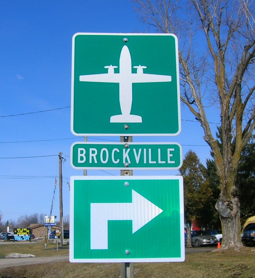
Today “Tincap” is a wonderful place to live. Only 5 minutes North of Brockville, it mixes city life with urban life and boasts many attractions including Brockville's Airport.
This my first hide in the Brockville area.
The container holds a log book, a pencil, and lots of cool swag. You can park your car very close to GZ on either side of the highway but please be aware, this is a very busy highway, so take appropriate caution if you have children or pets. Please do not park in private driveways. Placed with the property owner’s permission. Note: I am the owner of the item where the cache is located and have verified that this placement is allowed. Please do not venture beyond the telephone pole line on personal property which is about 15 feet from the highway. Please don't hunt for this one in the dark.
This area is really busy at times, so please use stealth and replace the cache exactly as you found it.
If you are lucky this one could be considered a park and grab, or it may have you banging your head against a pole, but keep looking and you may soon become a “Channel Master”.
 As always, Have Fun, and Happy Trails to you.
Another "Crazy" cache by "The Ram"
 .
.