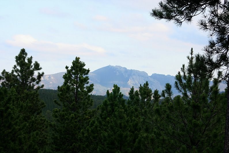
Harney Peak, located within the Black Elk Wilderness of the Black Hills National Forest is the highest point in South Dakota. At 7,244 feet it is also the highest summit in the United States east of the Rocky Mountains and the highest point within the Black Hills.
There are dozens of geocaches within the Black Hills that afford a view of Harney Peak. Most of them require some kind of hike to get to. This one should be an easy one for you.
To get to the cache, take China Gulch road north off of US 385 for a couple of miles, then left on FS 254 until you get to the top.
The cache is a small, well hidden lock n lock container, barely a couple hundred or so feet from the road. It's a short easy walk. It contains the required logbook, and some small swag items for trade. Although the chances are slim to none anyone is going to happen by and look in this spot, please re-hide the cache as good or better than you found it.
As with all of our caches, be safe, good luck, and have fun!