Krompašský vrch (1025 m n. m.) sa nachádza v casti Volovských vrchov nazývanej Hnilecké vrchy. Tie ležia medzi riekami Hnilec a Hornád a z východu sú ohranicené práve sútokom týchto dvoch riek. Smerom na západ siahajú až niekde po Markušovce. Najvyšším vrchom Hnileckých vrchov je Bukovec (1126 m n. m.). Cez Krompašský vrch vedie miestna modrá a červená turistická znacka.
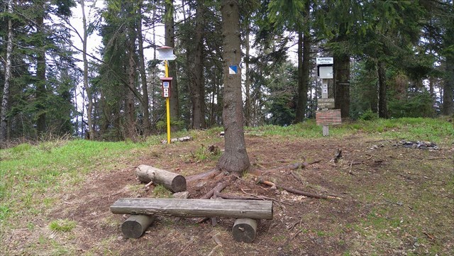
The Krompassky hill
The Krompassky hill (1025 m above sea level) is situated in the Hnilecke hills the part of Volovske hills. The Hnilecke hills are placed between two rivers – the Hornad and the Hnilec. From the east the Hnilecke hills are bounded just by the confluence of these two rivers. From the west the Hnilecke hills stretches to village Markusovce. The highest hill of Hnilecke hills is Bukovec (1126 m above sea level). There is local blue and red marked path going through the top of Krompassky hill.