KC
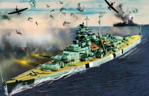
Battleship
Welcome to
KC Battleship. This is one of 100 battleship grid caches hidden as
part of the KC Battleship series. The grid is 10x10 and the squares
are labeled A1 through J10.
The
objective is just like the game of Battleship; discover the
locations of ships by finding caches in the grid that indicate
“hits”. Each hit will contain pieces of the coordinates
to one of 5 ship caches published separately. Each of those 5 ship
caches will hold the clues to the "KC Battleship Final" (GC34YT4).
This cache is also published separately. The 5 ships and the number
of hits for each are as follows:
Patrol
Boat = 2 Hits
Submarine = 3 Hits
Destroyer = 3 Hits
Battleship = 4 Hits
Carrier = 5 hits
Grid
caches that indicate hits will provide clues as in this example:
HIT: N = 6, 1. Remember to record those clues as they are necessary
to find the 5 ship mystery caches. View those cache pages for more
information. They are named:
KC Battleship: Carrier GC35381
KC Battleship: Battleship GC35HVE
KC Battleship: Destroyer GC3607F
KC Battleship: Submarine GC366CK
KC Battleship: Patrol Boat GC35VKH
You
Sank My Battleship!!!
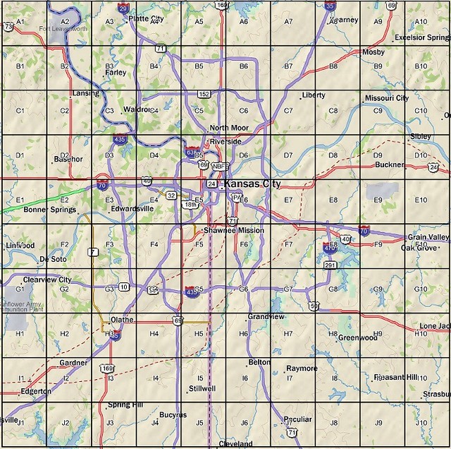
Saving and printing the map image above will
help you keep track of completed squares and found hits. Just as in
Battleship, when you’ve found a hit, you know another must be
in one of the squares to the left, right, above or
below.
***PLEASE
READ*** A lot of time, planning and effort by several of your
fellow geocachers has gone into making this set of 100+ caches a
reality. PLEASE do not post any spoiler photos or logs that would
give a clue to a hit or miss. If you do, you will be contacted and
asked to edit your log. Also sharing information with other cachers
or asking for it is discouraged, so we ask that you please don't.
Besides it's obvious when someone has taken shortcuts. Keep the fun
in the game but most of all have fun!!!
Placed
mere feet from a waterway, you should not have to wade, but may
feel free to do so if it enhances your experience. Your GPS may
have issues navigating in this area. There are some tall trees and
the ground level is somewhat lower than some of the surrounding
terrain. The coordinates were averaged to 100% by a Garmin Oregon.
However, the process took 3:54 to complete, so that gives you a
feel for how strenuous this zone might be for your gps. Please
replace the cache and all camouflage as you found it.
Let’s keep searches contained between 7AM and
11PM.