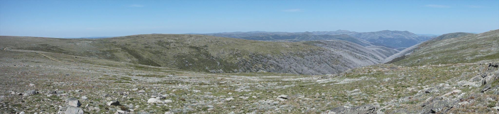
Mount Nelse North is located 1klm further along the track from Mount Nelse track junction. The trail is well formed and can be completed on bicycle to the base Mount Nelse North – the mountain is identified by the Trig cairn which is visible from the track. We suggest that the balance of the journey be completed on foot. It is classified as a medium hike due to the distance however there are no steep ascents or descents on this trail. The trail is very exposed, as such there is no shelter for much of the journey so please do not consider continuing should conditions deteriorate. There are two huts located along the earlier stages of the trail:
1. Johnstons Hut - offers better protection in inclement conditions & is located on the right hand side of the trail as you head toward Spion Kopje (consult mapping for its location)
2. Edmonson Hut - offers more rudimentary shelter. The hut was built in 1953 and is located on the let hand side of the trail as you head toward Spion Kopje (consult mapping for its location)
How do I get there?
Approx. 14klm return – allow 4 hours – classified as “Medium”
Drive 3.1 km along the Bogong High Plains Road from the Rocky Valley dam wall and turn left just after crossing Watchbed Creek, at the Big River Fire Track. It is possible to drive a further 1 km up the fire trail to a gate (please keep the gate clear), but it is recommended that you park near the Bogong High Plains Road and walk from the intersection. Follow this track up through Snow Gum woodlands along Watchbed Creek before coming out into open grassy plains to meet the AAWT.
Be Prepared
The best months for walking are from November through to April, however, weather conditions can change rapidly, and snowfalls and blizzards can occur at any time of the year. During the summer period, bushfires can also pose a threat so check the CFA website for updates prior to departure.
Be prepared with:
• Wind and waterproof jackets
• Warm clothing – hat, gloves, sunglasses, and strong footwear
• Food and water
• First aid kit and sunscreen
• Map and compass
• Check the weather forecast before departing
• Let someone know where you are going
• Mobile phone (reception in some areas)