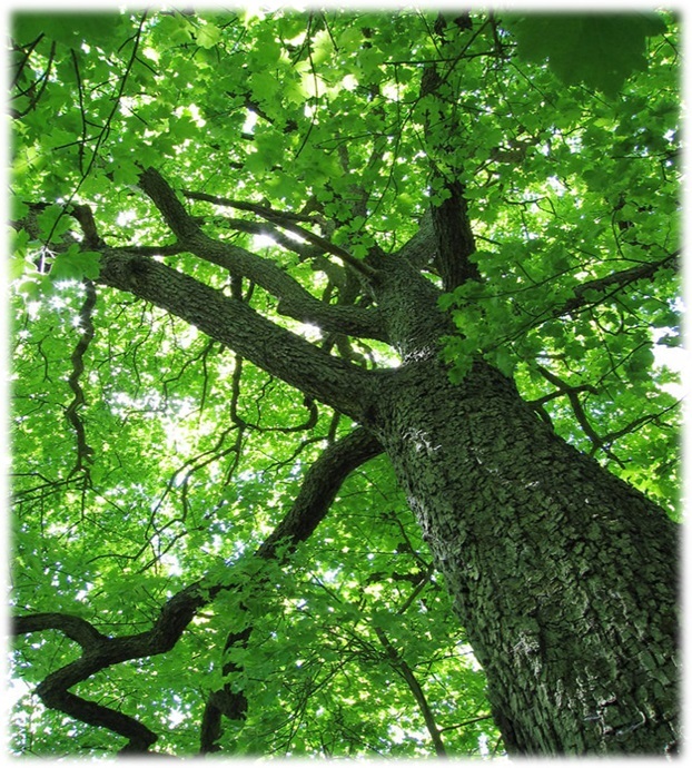
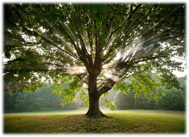
This multi will take you on a walking tour of the trees in Powder Valley Conservation Area. Along your way, you will be gathering information from small plaques attached to the trees. Please stay on the paved trail, the Missouri parks department asks that we do not walk through the woods in the nature area. The posted coordinates are for the parking area only. Make your way to the additional waypoints, in any order, to find the answer for A, B, C, D, E, F, G, and H. There is a geochecker at the bottom of the page to confirm your coordinates for the final once you have finished the tour. *Note* the location of the final was moved on 2-9-16. If you solved the cache previously, you will need to re-calculate the math for the final.
The Final is located at N 38° 3A.BCD W 090° 2E.FGH
Northern Red Oak - N 38° 33.230 W 090° 25.569
At the top of the plaque, in the title, the number of words in the first line = A.
Mockernut Hickory - N 38° 33.149 W 090° 25.488
There are four digits listed for the height, the first digit minus four = B.
American Elm - N 38° 33.219 W 090° 25.341
The number of letters in the last word on this plaque plus two = C.
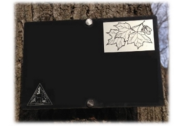
Sugar Maple - N 38° 33.342 W 090° 25.337
Take the first digit of the height (single digit) and subtract two = D.
Black Cherry - N 38° 33.294 W 090° 25.781
The number of letters in the last word on the plaque minus one = E.
Sassafras - N 38° 33.223 W 090° 25.801
The number of drinks listed on the plaque that sassafras is used in plus seven = F.
White Oak - N 38° 33.455 W 090° 25.728
According to the plaque, some white oaks started life in the _____s. The last digit of this year plus two = G.
Chinquapin Oak - N 38° 33.528 W 090° 25.688
The number of leaves shown in the drawing plus two = H.
You can check your final coordinates on GeoChecker.com.
FTF goes to walkingstic-stl!!!