CATALÀ
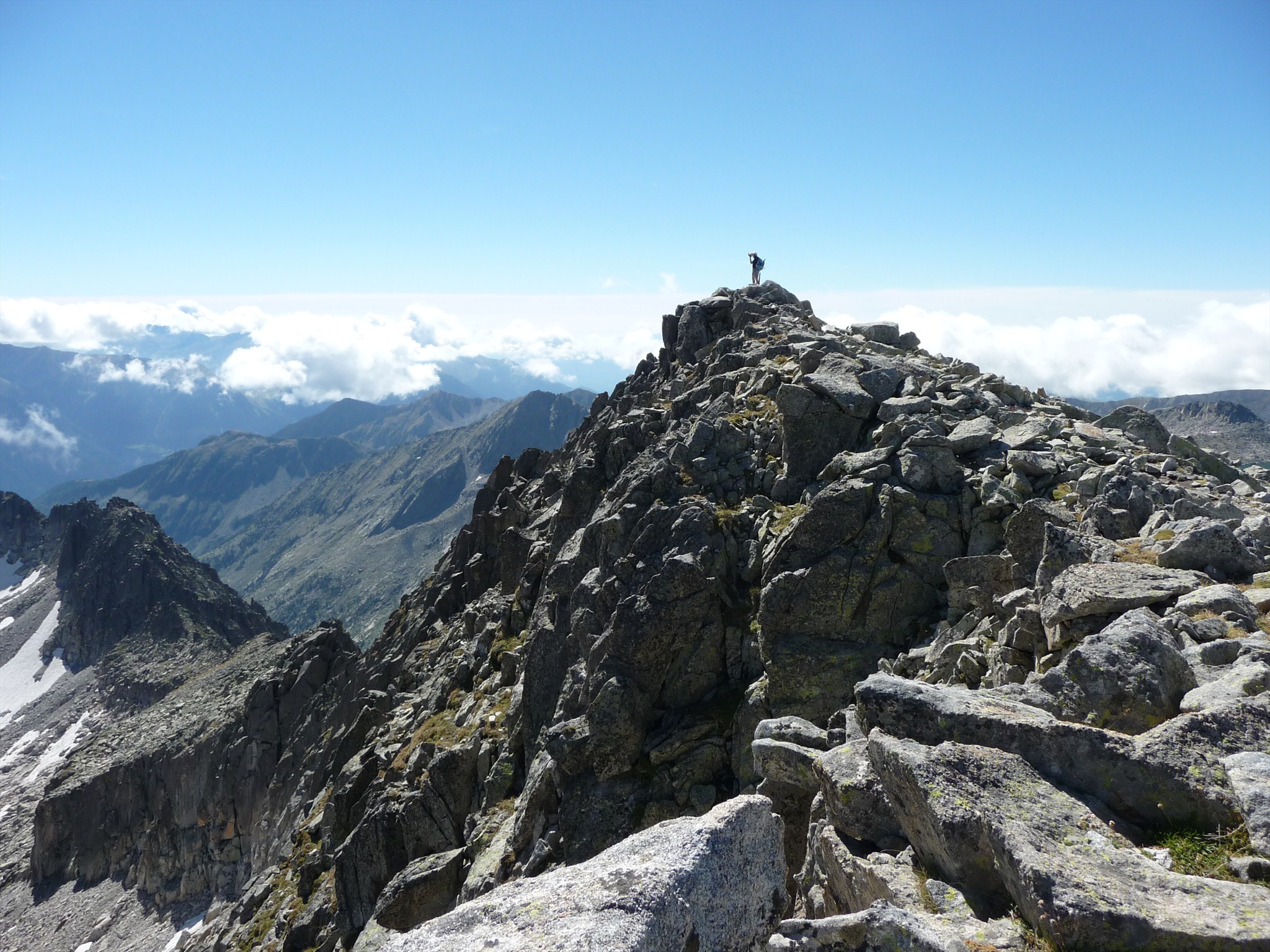
El Tuc de Molières (3010 m) és el sostre comarcal de la Vall d'Aran. La ruta que recomanem comença al pàrquing situat al costat de la boca sud del Túnel de Vielha i va cap a l'oest des d'allà. Seguirem indicacions cap al refugi i cap al cim, en un camí que no és difícil de seguir encara que de vegades hi ha molts blocs de roca i les fites no es veuen. En total ascendirem uns 1400 metres de desnivell.
Durant el recorregut podrem veure el naixement de la Noguera Ribagorçana, a l'estany superior de la vall. Un cop al cim podrem gaudir d'una fantàstica vista sobre el Massís de l'Aneto a l'oest i de bona part del Pirineu català a l'est.
ENGLISH
Tuc de Molières (3010 m) is the highest peak in the Aran Valley. The route that we recommend starts at the car park just next to the south entrance to the Vielha Tunnel and goes west from there. We will follow the signals to the refuge and to the peak, in a path that is not difficult to follow but where sometimes there are a lot of rock blocks and can be difficult to see the path markers. All in all, we will ascend around 1400 metes.
During our way, we will see the fountain of Noguera Ribagorçana, in the uppermost lake in the valley. Once in the summit we will enjot a terrific view to the Aneto Massif westwards and to most of the Catalan Pyrenees eastwards.