There are several different types of coal. They all have different properties usually dependent on their age and the depth to which they have been buried under other rocks.
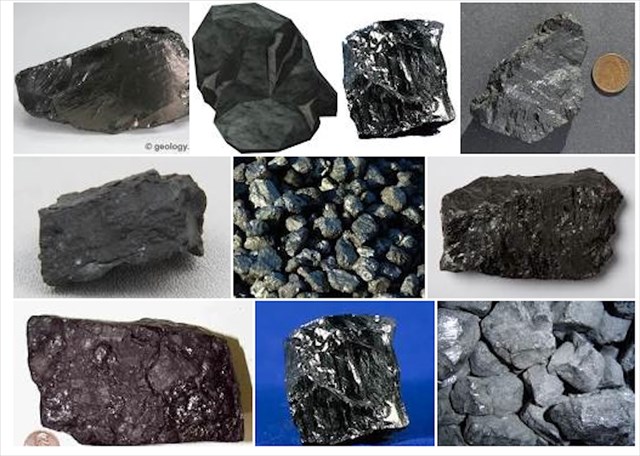
Collie coal was formed over hundreds of millions of years. In Australia, coal ranges from Cretaceous age (135 to 65 million years ago) to mid Permian age (up to 260 million years ago). They are all black but some are sooty and still quite high in moisture (sub-bituminous coal), including the coal mined at Collie, which is sometimes termed a "black lignite".
During the Carboniferous period (360 to 290 million years ago) the ancient continent of Gondwana was largely covered by a huge ice sheet, which blanketed small rift valleys in the area now known as Collie.
By the start of the Permian (290 to 240 million years ago) the ice had gone, although the climate was still cold and wet. Broad rivers which meandered through the landscape deposited sand and silt, which was interspersed with peat formed in damp forests and bogs nearby. There were so many tonnes of vegetation piling up that much of it was later fossilised in the form of coal. It takes two metres of plant material to form 30cm of coal. Compaction of these layers and some further movement on fault lines caused the Permian sediments to be gently folded down into the older valleys.
Erosion during the later Triassic (240 to 200 million years ago) and Jurassic (200 to 135 million years ago) removed most of the Permian sediments, sparing only those protected within the deepest of the older valleys.
This erosion was brought about by formation of the Darling Scarp which is an extension of the Darling Fault. The fault is a major and ancient geological discontinuity separating the Archaean Yilgarn Craton in the east from the younger Pinjarra Orogen and overlying Phanerozoic Perth Basin to the west. Its crust is mostly made up of granite and greenstones that were fused by heat and pressure.
The Darling Fault is a massive fault which runs parallel to the Western Australian coastline for 1000 kilometres. It was last active during the break-up of the super-continent Gondwana. Here, some of the oldest rocks on Earth are exposed. Darling Scarp rocks like granites, gneisses and quartzites are more than 2,500 million years old.
The location of the scarp must once have coincided with the location of the fault but the scarp has since eroded about 15 kilometres eastwards. The Collie Basin (and two smaller but similar coal basins near Boyup Brook to the south east of Collie) are the only Permian remnants east of this fault.
The Cretaceous (135 to 65 million years ago), spelled the end for Gondwana as the continent broke up into four main pieces, three of which we now call South America, Africa and India. The fourth piece consisted of Australia and Antarctica, which stayed more or less intact throughout the period.
In the Collie area, flat lying sands and clay were deposited in the bed of a shallow lake, covering the upturned and eroded edges of the Permian sediments with a layer now known as the Nakina Formation.
The surface between the Permian and Cretaceous rocks is called an unconformity and represents over 100 million years of "lost" geological history. The Nakina Formation covers the Permian sediments which generally do not outcrop.
In the middle of the 19th Century coal was the only fuel which could support large scale industrial development. Coal deposits were first discovered in the Collie Basin in the late 19th Century.

It is thought that the original discoverer of the Collie River coal deposits in 1883 was a stockman named George Marsh. He picked up several dark coloured stones from the edge of a river pool and placed the stones on either side of his fire to support cooking utensils. Much to his surprise the "stones" caught alight. That coal exposure found in 1883 is still the only one known and today is difficult to see.
The Collie Basin is about 26km long, about 13km wide and up to nearly 2km thick. It contains over 50 individual seams in three distinct coal measures. Mining began in 1898 and the area remains the only producing coalfield in Western Australia.

You may log this Earthcache straight away but then please email your answers to the questions to the CO. We will contact you ONLY if your answers need extra work. Logs with no answers sent will be deleted.
The answers can be found by observing the landscape, reading the information boards and a little research.
Q1. What is a scarp?
Q2. What is a land fault?
Q3. What is lignite?
Q4. How many tonnes of coal have been produced from the Collie Coal Basin between 1950 and 2012?
Q5. Go to S33 22.858 E116 18.377. Is the mine an underground or open cut mine?
Q6. What are the predominant colours in the mine walls?
Q7. At GZ is a large electric rope shovel called Shovel 6. What is the capacity of its dipper?
You are welcome to post a photo of yourself enjoying this cache. No spoilers please.
Remember to take only photos and leave no trace of your visit.
We hope you enjoy your visit to this ancient geological formation and the nearby mechanical shovel.