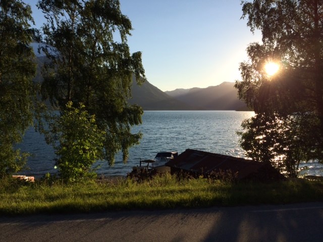
Oppstrynsvatnet is a lake in the municipality of Stryn in Sogn og Fjordane county, Norway. It is located about 8 kilometres (5.0 mi) east of the village of Stryn (the administrative centre of the municipality). The villages of Flo, Hjelle and Erdal are located on the shores of the lake.
The lake has an area of 22.87 square kilometres (8.83 sq mi) and is surrounded by many large mountains and glaciers which feed into the lake. The main outflow of the lake is the river Stryneelva which flows west into the Nordfjorden.
Some of the local attractions include the Jostedalsbreen nasjonalparksenter, Jostedalsbreen National Park, the mountain Skåla, and the glacier Tindefjellbreen. The Norwegian National Road 15 highway runs along the southern shore of the lake. Oppstryn Church sits right on the shore overlooking the lake.