Take a 2 kilometre wander through the "City of Oaks", picking up the different clues for the final cache. You will be able to complete this multi in about an hour, but allow time to stop at the many shops and maybe have a bite to eat.
The point of this multi is to take you to historical points of interest in Stellenbosch. At each given waypoint you will have to answer a question which will give you a number. Use these numbers to then work out the final cache coordinates.

Waypoint 1: Oom Samie se Winkel
“Uncle Samie’s Shop”, was one of the first trading stores in Stellenbosch. It takes one back to the early 20th century to the days of the old general dealer who stocked everything that was needed by a family of the time.
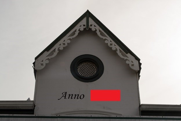
Waypoint 2: La Gratitude
La Gratitude is truly a magnificent example of Cape Dutch domestic architecture, with the gable bearing the all-seeing eye of God, surrounded by an aureole, placed above the gable window. Today it hosts “The Big Easy Restaurant & Wine Bar”, owned by Ernie Els & Jean Engelbrecht.
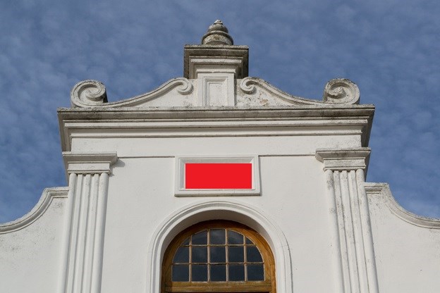
Waypoint 3: Old Lutheran Church

This delightful former Lutheran Church was erected in the Gothic-style and dated from 1851. The same architect, Carl Otto Hager, also designed The Moederkerk and The Ou Hoofgebou.
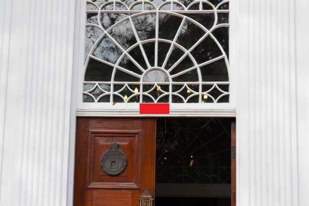
Waypoint 4: The Rhenish Church
This building was built in 1823, as a place of education and worship for slaves. The classicist eastern gable was almost a replica of the western gable of the Moederkerk before the latter was remodeled in the neo-Gothic style in 1863.
Waypoint 5: The V.O.C Kruithuis
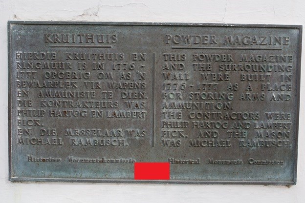
The Kruithuis was erected in 1777 as the Company’s arsenal and gunpowder house. As security was an issue, the structure was built for protection – the walls are almost 70 cm thick, the roof is vaulted for added protection and the building is surrounded by a high wall and handsome arched gateways.
Waypoint 6: Die Braak
This spacious village green once played host to meetings and festivals, feasts and games, and occasionally still fulfills this function. It was used as a parade ground from 1703.
Waypoint 7: Hofmeyr Hall
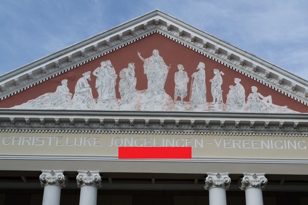
This neo-classical hall, with its impressive ionic temple facade, was inaugurated in October 1900. The building was constructed for use by the Christelijke Jongelieden Vereniging, and was named after Prof. N. J. Hofmeyr, founder of the Stellenbosch Seminary and the CJV.
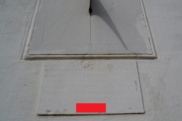
Waypoint 8: The Moederkerk
This was the site that Simon van der Stel camped at with his party in 1679, on an island in the Eerste River. Since 2000 ministers of the Dutch Reformed Church, the Uniting Reformed Church in Southern Africa as well as other denominations are trained here.
Final cache coordinates: S 33 5(A+2).(B-6)(CD-24)
E 018 5(E-8).(F*2)(G+2)(H-1)