
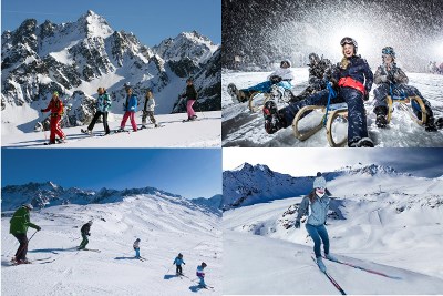
Im Rahmen zum Event im Schnee – GC5GEWX – möchten wir euch ein paar schöne Stellen im Pitztal/Tirol zeigen. Dazu haben wir uns ein paar Versteckmöglichkeiten überlegt, die euch hoffentlich gefallen werden.
Die Sunna Alm ist das höchstgelegene Passivenergie Haus in Österreichs Alpen. Das neu errichtete Gebäude wird nur mit alternativen Energiequellen versorgt: Erdwärme und Solarenergie. Sie liegt auf 2300m ü. NN. in der Nähe der Bergstation der Riffelseebahn. Von hier kann man das schöne Bergpanorama über dem Riffellsee genießen. Ausgehend von der Sunna Alm kann man weiter zum Muttenkopf und zur Riffelseehütte wandern.
Für den Zugang zur Dose benötigt ihr einen 4-stelligen Code. Diesen erhaltet ihr, wenn ihr die Nachkommaminuten der Nord- und Ostkoordinate addiert. Die T-Wertung bezieht sich auf den Weg, sofern man den Gipfel zu Fuß besuchen möchte. Der Cache wurde mit Genehmigung vom Owner der Location gelegt.

Alongside the Event in the Snow – GC5GEWX – we'd like to point out some interesting spots around the Pitztal/Tirol. Therefore we have been picking a few nice places, we hope you'll enjoy to explore.
The Sunna Alm (Sunna mountain pasture) is situated at about 2300m above sea level near the Riffelsee station. It is the highest passive energy building in the Austrian Alps and powered by alternative energy only: solar power and geothermal energy. From up here, you have a very pleasant view over the Riffelsee and the surrounding alp summits. From here, you can also enjoy a hike to the near Muttenkopf summit and to the Riffelseehütte.
To gain access to the logbook, you require a 4-digit code. You can calculate the code by adding the minute values after the decimal point of the north- and east coordinates. The Terrain-rating results from the way up to the top, in case you want to experience an extended hike.