Welcome to McKelvey Woods. Phase I of this trail was called the McKelvey Woods Trail when it officially opened on April 5th 2014. It began at the Maryland Heights Aquaport and ran 0.8 miles along Fee Fee Creek. On 6-14-18 the Phase II extension of this trail connected Aquaport to Creve Coeur Lake Park for a total distance of 2.7 miles. The Phase I and Phase II trail name was then changed to the Fee Fee Greenway. The surface is either concrete or asphalt. Some bushwacking is required from a Nature Trail that connects to the Fee Fee Greenway. Wheel Chairs, Dogs, Bicycles, and Roller Blades are allowed on the trail. Restrooms are nearby at Dogport and the Maryland Heights Community Center. Hours of trail use are from 30 minutes before sunrise to 30 minutes after sunset.
Coordinates are given for the turn into the Aquaport parking lot on McKelvey Road. These coordinates are also the location of the Aquaport Trailhead which begins on the sidewalk. After you make the turn from McKelvey Road into the parking lot, make an Immediate Right turn to access the parking lot spaces. The "Do Not Enter" signs refer to the dropoff traffic in front of the Aquaport so that it moves in a Counter Clockwise direction.
Walk North on the sidewalk from the Fee Fee Greenway trailhead sign a short distance to where the trail leaves the sidewalk and descends to Fee Fee Creek. The Trail leaves the sidewalk at the entrance of Dogport which has a restroom and limited parking. If you prefer a longer walk, you can take the trail from the Creve Coeur Lake Park trailhead which is at the Disk Golf parking lot (see Parking Coordinates).
The Cache Title, and the Picture Below should shorten your search.
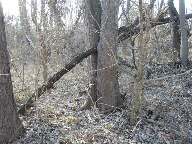
The cache is a quart size camoed cylinder. I saw eight deer when I placed the cache. An paved Nature Trail takes you nearby the cache.There is about 150 feet of light bushwacking after you leave the Nature Trail. The Nature Trail makes a loop off to the side of the Fee Fee Greenway. You can approach the cache from either end of the Nature Trail.
Route A The Nature Trail leaves the Fee Fee Greenway at the location of the geocache "McKelvey Woods - Phase I", GC53VEK (Where the original Phase I trail ended).
Route B You get to see more of Fee Fee Creek. You turn off of the Fee Fee Greenway onto the paved Nature Trail at the far end of a Small Bridge (see Coords below). This way is a longer distance on the Nature Trail, and is more scenic. FYI there is another Nature Trail that is short, stops at a dead end, and will not take you near the cache. The reference coords should help you pick the right Nature Trail.
Permission to place the cache was obtained from the Maryland Heights Department of Parks and Recreation. McKelvey Woods was part of the 182 acre plantation owned by William McKelvey from 1836 to 1859. It was near the estate of Walter H. Dorsett. Both are familiar names today in Maryland Heights. Mr. McKelvey, like many early settlers in the Maryland Heights area is buried in Fee Fee Cemetery (N38 43.909, W90 24.349), one of the oldest in the county. The Phase I Trail begins by following Fee Fee Creek. A program is in place to revitalize the creek and the wet lands surrounding it. Fee Fee Creek is a tributary to Creve Coeur Creek which flows directly to the Missouri River.
A trackable geocoin ready for activation awaits the FTF.
FTF Honors go to TheLegoPharaoh. Nice Job !