In 1865 Pukearuhe was occupied by the 70th Regiment and Taranaki Bushrangers, who built a redoubt and blockhouse. It remained a military outpost until 1885. Clifton township was surveyed around it, but did not develop much beyond housing for the garrison’s families.
In 1869 the redoubt was attacked by a Ngāti Maniapoto war party which killed the eight residents and the visiting missionary John Whiteley.

Pukearuhe and Parininihi, watercolour by John Kinder
There is little sign of Clifton township today.
A simple Multi will lead you to the cache...
From the given coordinates, head North and Just follow the signs...


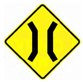


900 metres on from the last sign you will arrive at your destination.
There is little parking at GZ, so please be careful, especially with the junior cachers.
Alternate solution
For those who like puzzles, the Final is at S 38° Aa.BbC E 174° Xx.YZz as so...
S 38°  •
• 
 E 174°
  •
• 

In which case you might want to check your result with GeoCheck... 