The View West from the Summit of Mount Dyson:
History Note: Mount Dyson's first ascent was on August 13, 1896 during the Irrigation Survey. Surveyor A.O. Wheeler named the camera survey station and mountain after his assistant Dyson.
Mount Dyson is a fantastic winter destination during a season with minimal snow and on a day with clear views. About 3/4 of the hike to Mount Dyson can be done on very nice trails. In the winter, the Sheep River will be completely frozen over removing the need for any major fording. Further, the marshes and streams will also be frozen, making travel much quicker and easier. That said, if there is significant fresh or accumulated snow this hike is an unreasonable option. In the spring or summer, expect potentially muddy conditions.
Begin your day by parking in a nice lot near the Sandy McNabb campground. Proceed down the road to the river and cross or ford the Sheep River. Pick up the Wolf Creek Trail on the opposite side. Hike the Wolf Creek Trail for about 30 minutes until you reach a nice open marsh. Continue around the marsh, still on the Wolf Creek Trail, for another 1.5 kilometers. Here, you will reach a junction where you have to choose between Option 1: The Southeast Slopes or Option 2: The Northeast Slopes. The pros and cons of each are listed below:
| Option 1: SE Slopes |
Option 2: NE Slopes |
| Longer total distance (3.5 km) |
Shorter total distance (2.5 km) |
| 2km of which is on trail |
Entirely off trail |
| Sun trap with nice views |
Shady and in the forest |
| No major bushwhacking |
Mostly bushwhacking thru open forest |
| More likely to be free of snow |
More likely to have deep snow |
| Steep the whole way once you leave the trail! |
One short steep section, otherwise ridgewalk |
It's up to you which route you want to take! Option A is the better choice in the summer months because of the likelihood of wildflowers! In the winter, consider an ascent via Option 1 and descent via Option 2!
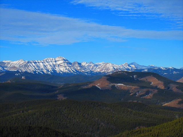
Once at the summit of Mount Dyson, you'll note that the summit itself is entirely in the trees. The cache is just west of the true summit, and has an incredible panoramic view of the peaks to the west!
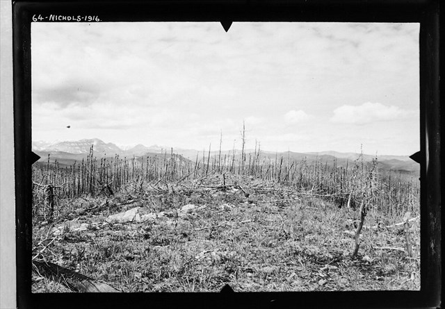
A Look West from Mount Dyson 100 years ago:
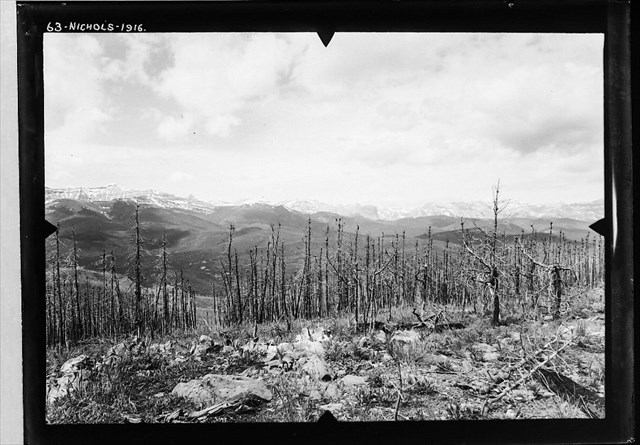
A Look North from Mount Dyson 100 years ago: