JUST-T Cache
PORTUGUÊS

A RIBEIRA CHÃ
“A nove Ribeira Chã é uma freguesia rural açoriana do concelho da Lagoa, ilha de São Miguel, com 2,52 km² de área e com cerca de 400 habitantes, o que corresponde a uma densidade populacional de 157,1 hab/km². Apesar do povoamento ser antigo, existindo antes de 1637, o povoado apenas foi elevado a curato em 1902 e a freguesia e paróquia em 1966, tendo funcionado sempre na área de influência da antiga vila de Água de Pau. O desenvolvimento do lugar ganhou grande dinamismo a partir da década de 1960, em boa parte por influência do padre João Caetano Flores, com a elevação a freguesia, a construção de uma moderna igreja, a criação de um invejável núcleo museológico e o aparecimento de diversasinstituições, entre elas, um jardim-de-infância pioneiro na educação pré-escolar na ilha de São Miguel”.
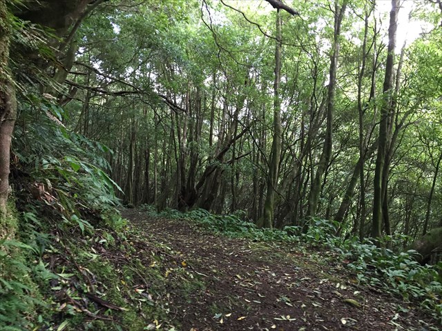
ROTA DA ÁGUA
“A “rota da água”, existente nesta zona, faz parte de um conjunto de trilhos pedestre a serem implementados no futuro no concelho de Lagoa. Aproveitando as condutas e as nascentes de água que abastecem as cidades de Lagoa e Ponta Delgada na Serra da Barrosa e na Serra de Água D’Pau, serão mais 40 km, com uma dificuldade média-baixa, em percursos com passadiços, pontes, túneis e aquedutos que há mais de 60 anos levam a água até aos aglomerados populacionais”.
A CACHE:
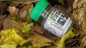
A cache tem um formato convencional e situa-se em local público.
Deverá levar material de escrita.
Não coloque, por favor, no seu registo, fotos da cache, nem do GZ.
JUST-T Cache
ENGLISH

The: “RIBEIRA CHÔ
“The new “Ribeira Chã” is an Azorean rural parish in the municipality of Lagoa, São Miguel, with 2.52 km ² and with around 400 inhabitants, which corresponds to a population density of 157.1 inhabitants / km². Despite the settlement be old, existing before 1637, the village was only raised to parsonage in 1902 and the parish and parish in 1966 and has worked ever in the area of influence of the old Agua de Pau village. The development of the place gained great momentum from the 1960s, largely under the influence of Father João Caetano Flores, with the elevation to parish, the construction of a modern church, creating an enviable core museum and the appearance of several institutions, including a kindergarten, childhood pioneer in pre-school education on the island of São Miguel”.
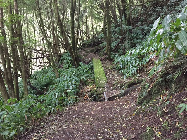
ROUTE OF WATER
"" Water Route ", existing in this area, is part of a set of pedestrian trails to be implemented in the future in Lagoa. Taking advantage of the pipes and the water sources that supply the cities of Lagoa and Ponta Delgada in Sierra Barrosa and Water Serra D'Pau, will be over 40 km, with a medium-low difficulty, for journeys of walkways, bridges, tunnels and aqueducts that for more than 60 years leading the water to the settlements. "

THE CACHE:
The cache has a conventional shape and is located in a public place.
Should bring writing materials.
Do not place, please do not register, the cache photos, or the GZ.