The River
Whakatikei River flows generally southeast from its sources close to the west coast, 5 kilometres southeast of Paekakariki. It is popular with kayakers when the conditions are right. The river's bush surroundings have been the focus of the Forest and Bird 'Whakatikei Forest Restoration Project'. This is part of a wider project with the aim of creating an eco-corridor from the northern end of Belmont Regional Park, north along the fault scarp on the western side of the Hutt River to the Whakatikei River, via the Akatarawa forest to the coast at QE Park and the Waikanae River to its mouth.
Wellington Regional Council are considering damming this river in the future, upstream from the cache, to compliment the regions water supply.
The Dream
A Walkway spanning the length of the Hutt western hills and beyond, from Petone to Upper Hutt, and perhaps from there to Kaitoki Regional Park.
The Barrier
The Hutt River Walkway comes to an abrupt halt at the Whakatikei River. It continues on the other side of the river at the Whakatiki End View cache. In the summer the water flow is low enough for keen walkers or mountain bikers to wade across, but not so in winter, so a bridge spanning the river would be ideal. So far the land owners have not come to the party as a safe bridge would need to be substantial.
Finding the Game Zone
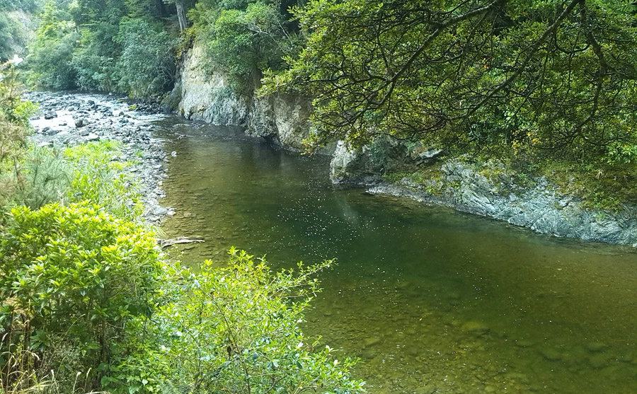
From Riverstone Drive, walk down the wide gravel path to the Whakatikei River swimming hole. Turn left and head up the smaller gravel path that follows the bank of the river. You'll turn off the narrow gravel path onto a smaller beech leaf path and follow the bank of the river to the cache.

If the path narrows into gorse you've just passed the cache.
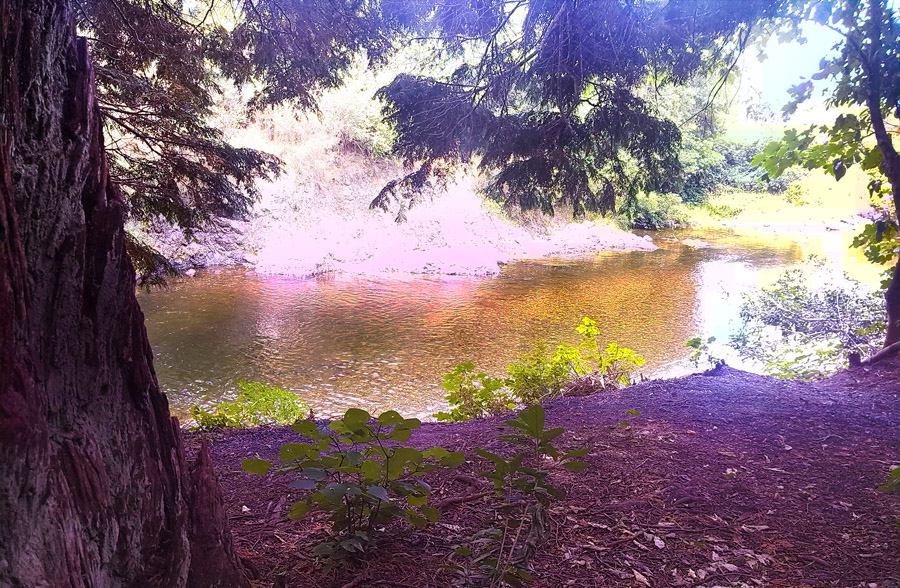
At the Game Zone you'll look down on one of many great swimming holes along this tributory.
The Cache
This cammoed flashlight holds a log but please BYO pencil.
Please respect the vegetation while searching for the cache and you may wish to practice CITO (Cache In Trash Out) if you spot any rubbish at this beautiful site.