"About Crosby Farm Regional Park (Park Map)
Crosby Farm Regional Park is named after Thomas Crosby, an English immigrant who staked out 160 acres in the valley southwest of the present-day junction of Shepard Road and Interstate 35E in 1858. Before Crosby's death in 1886, the farm became one of the largest and longest running in the West End and Highland Park area. A succession of families farmed it between 1902 and 1962. The Saint Paul Port Authority purchased the land in the early 1960s and leased it to the City for park use. With about 6.7 miles of paved trails, the park provides a beautiful setting for an afternoon's (Geocaching), walk, run, or ride. Trails run along shady, wooded bottom lands next to the Mississippi River, along the marshes of Crosby Lake, past scenic picnic areas, and connects to the Mississippi River Boulevard parkway." -- St. Paul Parks & Rec website
Park at the shelter noted. Hike the paved trail then take the 'high road' to the geocache and disregard the campfire and fishing spots near GZ.
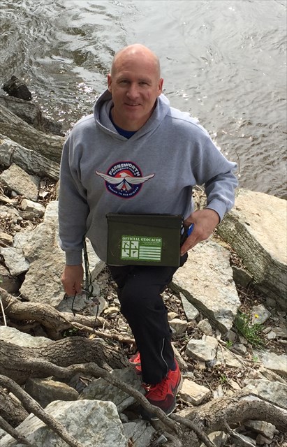 9/20/2016: I've realized something I hate more than a DNF - a muggled cache! Thankfully, I recovered, restocked and relocated the container. I've also bumped the 'D' a point as a result; could be evil - you tell me. Bring a pen.