Briones to Mt Diablo Trail is a part of the East Bay Regional Park District.
Did you know that the East Bay Regional Parks District is the largest urban park system in the entire country? This geocache is part of the Passport to the East Bay Parks series.
There is one special geocache in each of the East Bay Regional Parks properties (except a few that don't allow geocaches.) At the time of this cache placement, the park district encompasses 199,000 acres. Please enjoy all the parks and trails, but please respect the Park rules.
Be sure to stamp your passport with the stamp provided in the geocache. Many of the Passport geocaches have blank passport booklets in the container. You can also download a Passport via Passport To The Parks
When you completely fill up your Passport, you can redeem it for a special prize. Of course, there is no cost for participating. For further information on the Passport series, see Passport To The Parks
Briones to Mt Diablo Trail
Spanning the distance between Briones Regional park and Mt. Diablo State Park, this trail serves the communities of Lafayette and Walnut Creek and makes important connections to major regional trails, including the Contra Costa Canal Trail, California State Riding and Hiking Trail, and the Iron Horse Regional Trail.
The Briones-to-Mt. Diablo Trail also connects schools, community facilities, and city parks and open space areas, including Briones Regional Park, Larkey Park, Heather Farm Park, Shell Ridge Open Space, Diablo Foothills Regional Park, and Mt. Diablo State Park.
For more info, see Briones to Mt Diablo Trail Map
This is a busy trail so be cautious of bicycles, runners and dogs.
The Briones to Mt Diablo Trail Passport Cache
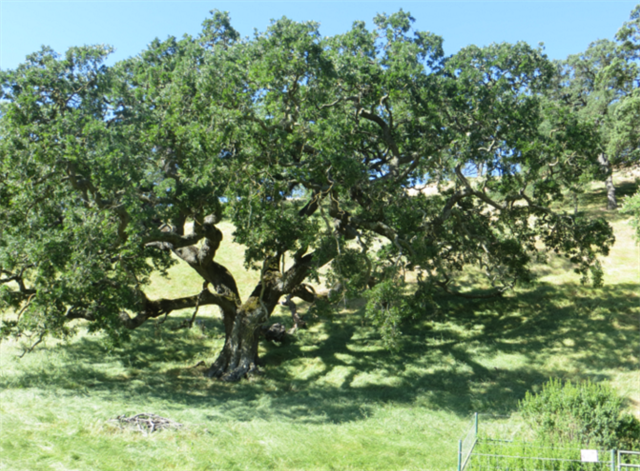
The cache is located a short distance from Borges Ranch. The trail is a dirt fire road.
Watch out for snakes, ticks and the usual park hazards.
Don't forget to stamp your passport with the stamp inside the cache container.
.