
 Noteć 3
Noteć jest żeglowna na prawie całej długości. Od czasu budowy Kanału Bydgoskiego w 1774 r. jest elementem szlaku żeglugowego łączącego Wisłę z Odrą. Prace regulacyjne na Noteci Dolnej przeprowadzono w latach 1863-1915. W rezultacie tych prac, między Nakłem, a ujściem Drawy zbudowano 14 stopni wodnych oraz wykonano 105 przekopów likwidujących zakola rzeki o promieniu poniżej 180 m, skracając bieg Noteci na tej przestrzeni z 169,8 km na 140,1 km.
Natomiast na Noteci Górnej na odcinku od jeziora Gopło do Kanału Bydgoskiego prace regulacyjne przeprowadzono w latach 1878-1882. Doprowadziły one do budowy Kanału Górnonoteckiego wraz z 6 stopniami wodnymi, budowy dwóch śluz na Noteci, a także pogłębienia oraz wyprostowania koryta rzecznego poprzez przekopy o długości 30 km.
Skrytka:
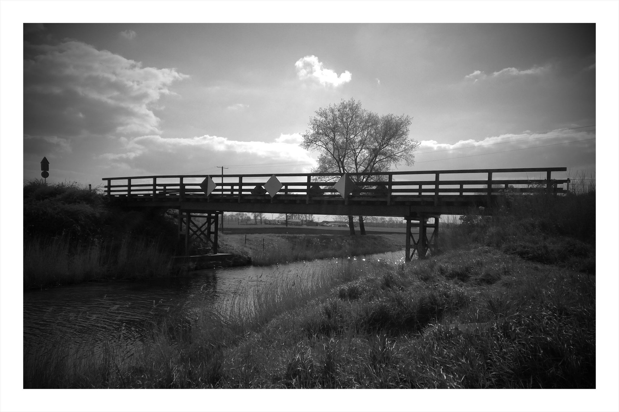
Na początku odszukaj znak żeglugowy E.2. Odczytaj z niego liczbę, którą widzisz stojąc na kordach startowych, to będzie Twoje A.
Udaj się do pierwszego etapu pod współrzędne:
N 52° 46. (A^2)*6 + 44
E 018° (A^4) - 4635 [wstawiamy kropkę w odpowiednim miejscu]
stań przodem do rzeki i rozłóż ręcę na boki. Twoje czoło powinno wskazywać na liczbę znajdującą się na przeciwym brzegu (na białej tabliczce) - użyj lornetki lub zoom'u w aparacie jeśli potrzeba. Odczytaj liczbę, to będzie Twoje BC. Teraz wykonaj obrót o 720 stopni przez lewe ramię. Prawa ręka natomiast wskaże słup z cyfrą na białym tle - to Twoje D.
Udaj się do drugiego etapu pod współrzędne:
N 52° 46. (A*B*D) + (A*C) + 2
E 018° 10. D*A + 2*B*C - A - 1
Tam wyznacz azymut = (A-9-2) stopni. Do pokonania będziesz miał około 0 metrów.
Koordynaty +/- 5m. Weź ołówek. Powodzenia :-)
The Noteć river is available for sailing for almost full length. Since the construction of the Bydgoszcz Canal in 1774 it is part of the shipping route linking the Vistula and the Odra rivers. Regulatory works at lower Notec were conducted between 1863 and 1915. As a result of this works, between Naklo and Drava mouth, 14 water levels were built and 105 dredges were cut to the bends of the river with a radius of less than 180 m, shortening the run of the Noteć from 169.8 km to 140.1 km.
On the upper Noteć, from the Goplo Lake to the Bydgoszcz Canal, regulatory works were carried out between 1878 and 1882. They led to the construction of the Upper Noteć Channel with 6 water levels, the construction of two locks on Notec, as well as the deepening and straightening of the river bed through a 30 km long trench.
The cache:
Initially look for the E.2 shipping sign. Read from it the number you see standing on the cords, it will be your A.
Go to the first stage under the coordinates:
N 52° 46. (A^2)*6 + 44
E 018° (A^4) - 4635 [insert dot in suitable place]
Stand facing the river and spread your hand to the both sides. Your forehead should point to the number on the opposite shore (on a white plate) - use binoculars or zoom in the camera if you need to. Read the number, this will be your BC. Now make a turn of 720 degrees by left arm. Right hand is pointing a column with a digit on a white background - this is your D.
Go to the second stage under the coordinates:
N 52° 46. (A*B*D) + (A*C) + 2
E 018° 10. D*A + 2*B*C - A - 1
Designate bearing there = (A-9-2) degrees. You will need to walk about 0 meters.
Coordinates + / - 5m. Take a pencil. Good luck :-)

