For some, these roads maybe familiar, well travelled routes, a thoroughfare, connecting you to where you want to go.
To solve this puzzle you will need to find the answers from a website about the history of these listed Waitakere street names.
South 36° A B . C D E ... East 174° F G . H I J
A = Cutler Street (last digit in year)
B = Rimu Street (first digit in chains long)
C = Clark Street (last digit in chains long)
D = Nikau Street (number of residences in 1937 - 11)
E = Lynwood Road (first digit in number of residences in 1937)
F = Copely Avenue (year name changed - 1965)
G = Astley Avenue (last digit in year)
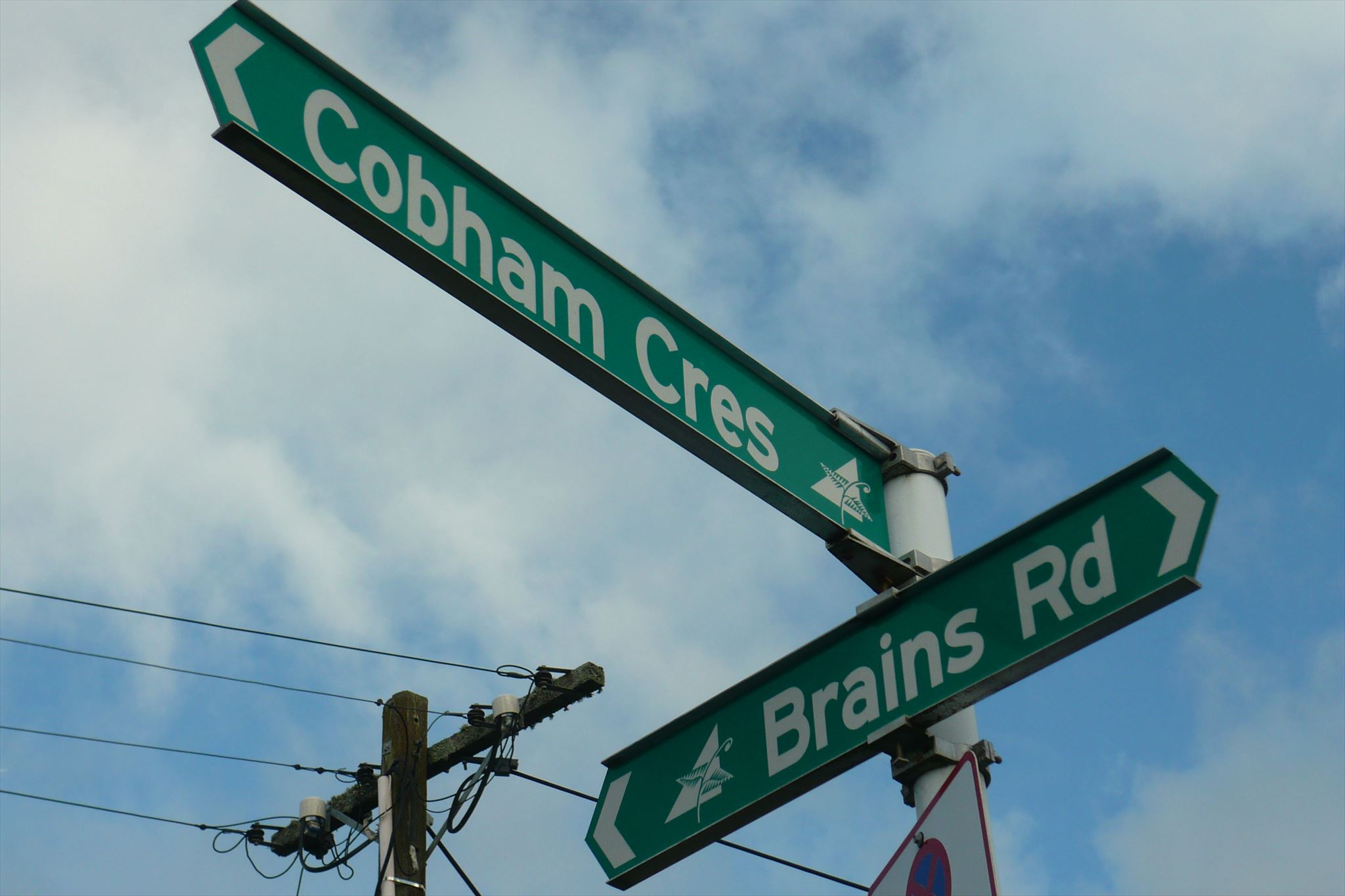
H = Cobham Crescent (first digit in year)
I = Archibald Road (last digit in day for December)
J = Hepburn Road (last digit in year)
Final: you will need to be stealthy, and bring your own pen. Medium sized camoed pill container.
Stay on the level, there is no requirement to bush bash.
CHECKSUM ( A-E ): ( South = 16 ) ( F-J ): ( East = 21 )
Wikipaedia definition: "chain" (ch) is a unit of length. It measures 66 feet, or 22 yards, or 100 links, or 4 rods (20.1168 m).