The National Byway® is a 3,200 miles (5,150km.) sign-posted leisure cycling route, around England and parts of Wales and Scotland. The National Byway® journeys through the natural environment, providing discreet sign-posted direction along some of the most attractive and peaceful rural lanes. In addition to the main route, there are 60 one-day circular loop rides.
The National Byway® passes through 42 counties as it meanders through the countryside. It visits 120 market towns, hundreds of rural communities and more than 800 places of interest along the way, including 6 World Heritage Sites, 4 national parks, all providing a reason to ride. Route details and information about places of interest can be found on the informative Byway maps that are for sale here.
The National Byway® has been developed for the use of the burgeoning UK cycling market. Sixteen million adults from across the social spectrum are bicycle owners, 24 million young people already own bicycles and are potential users. Ownership is predicted to continue to grow by 10% per annum. When completed, the Byway will be within one hour’s journey of 65% of the population. It also provides an ideal destination for thousands of international cycle-tourists who visit the UK each year.
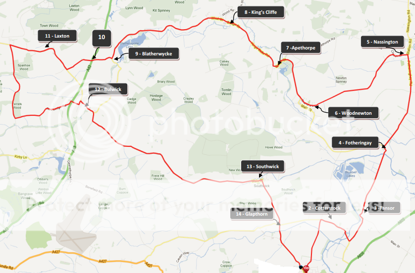
As well as the main route, there are a series of 5 Loops in the East Midlands, designed for single-day or short-break usage. Most of them are reachable by train and are based on: Oakham (25mile/40km), Oundle (29miles/47km), Grantham (36 miles/58km), Newark and Southwell (38 miles/61km) and Retford (21 Miles/34km). Each providing a taste of the pleasures of the East Midlands route.
