This Earthcache is part of a series created by the Arkansas Geological Survey to help increase general knowledge of our state's geology.
There is no physical cache located at the posted coordinates. To receive credit for the find, you will need to answer the questions in the description and email those answers to us through geocaching.com. Please do not post your answers in your log, but do feel free to post pictures at the Earthcache site as long as they do not give away the answers.
We also ask that you practice the principles of Leave No Trace while caching. Let’s keep it fun for everyone for years to come!
Arkansas River Terrace Earthcache
River Terrace Deposits
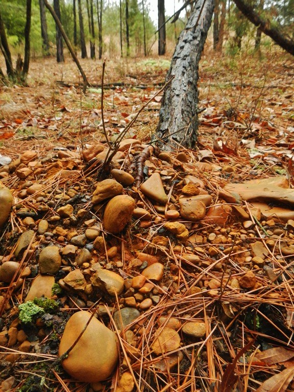
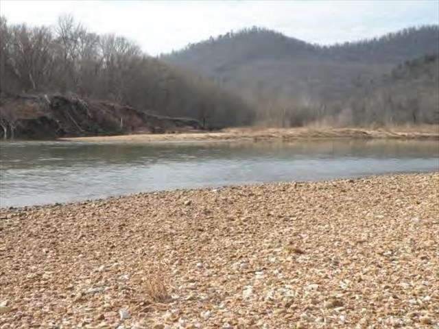
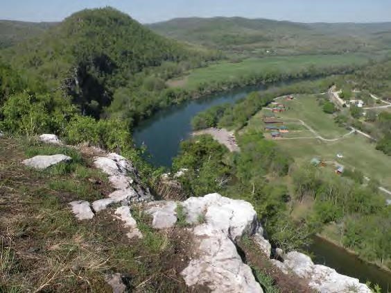
If you look around the area near the Earthcache coordinates, you will notice rounded gravel and cobbles. Some are bigger than softballs and others are small. Gravel of this kind has been transported by flowing water, such as rivers or streams. The gravel is round because it was carried along by currents and battered against other rocks until any sharp edges were eroded away. These were deposited by flowing water, from a very large stream, the Arkansas River. Though you are standing more than a mile south of the river, and over 100 feet in elevation above it, geologists know the Arkansas River flowed here a long time ago because of these gravel deposits.
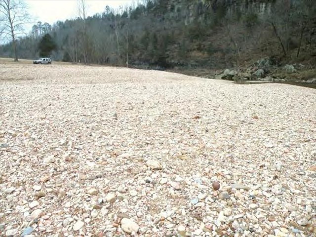
Gravel deposits of this kind are part of landforms geologists refer to as river terraces. River terraces are the remnants of old floodplains that record the previous positions of a river as it carved its valley. Most of the terrace gets wiped out by the river as it down-cuts to a lower position, but small portions are preserved.
Terraces such as these can provide ideal building surfaces, if they are no longer in the flood plain of the stream that created them. This is due to the typically flat nature of the terrace as well as the fact that they are largely composed of sediment rather than bedrock.
Questions
1. What body of water do geologists believe deposited this terrace?
2. How much higher in elevation is this spot than the current position of that body of water?
3. What is the approximate distance (in miles) from this spot to the current position of the body of water?
4. What, if any, local structures and man-made features do you think might have been built here due to the flat nature of the terrace?
5. What kind of trees are located near the Earthcache coordinates?
Congrats to St. Rock on the FTF!