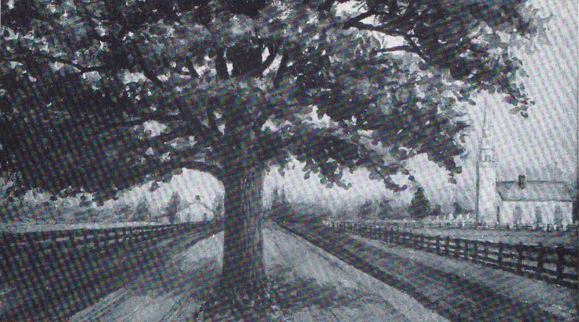
Tradition states that a historic oak tree was left in the centre of the road near the old St. John's Anglican Church as a memorial to the fact that it sheltered Governor John Graves Simcoe and his party while they rested here on their way to Turkey Point in 1795. General Isaac Brock also stopped here during the War of 1812 -14 to recruit Norfolk soldiers for the capture of Detroit.
Please note that the posted coordinates are only to show you the approximate location of where the oak tree once stood. Since the tree is long gone and I don't want you to be run over by passing traffic. You will need to project your way to the final resting spot of this cache.
First you will need to figure out the two digit number of the Hwy where this tree was once located. Take the last digit of the two digit number and multiply it by eight. The product will be your bearing in degrees, True North.
Next take the same two digit number, add one to it and multiply this sum by 10. This will be your projection distance in meters.
**No night caching on this one please!**
You will need your own pen!
Now project your way to the final and don't play on the road, didn't your mother tell you this!