FSC-2016 Ebright Summit
Cache Details:
Final cache location: N 39 49.ABC W075 30.DEF
Stage 1:N 39° 50.162 W 075° 31.143 Ebright Azimuth Historical Marker.
A. Number of words in the first line (title) plus number of words in the second line of the marker = A
B. Number of words in the last line of the marker PLUS 3 = B
C. The number in the lower right corner of the marker MINUS 78 = C
Check sum A+B+C = 23
Stage 2: N39 50.145 W075 31.148 Ebright Azimuth Benchmark
Benchmark JU4289 (listed in Waymarking) is located 80 feet south of the above marker at edge of sidewalk.
DEF. Calculate the Year stamped in the center of the Waymark MINUS 1172 = DEF
Checksum D+E+F = 14
Lock and lock container located in community park about 0.5 miles away.
Description:
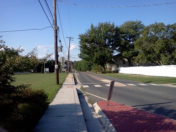
The highest point in Delaware, 447.85 feet above sea level, is located in the northern part of the state near the Pennsylvania border. The high point is located near a mobile home park west of Ebright Road, Wilmington, New Castle County. The Ebright Road benchmark (NGS disk EBRIGHT AZI) was found to be 447.85 feet above sea level. Many people consider Centreville, Delaware to be the highest point in the state; however, a benchmark at Centreville has an elevation of only 445.58 feet making the Ebright Azimuth disk more than two feet higher. "Ebright Azimuth" is the name and location officially given for the State Highpoint of Delaware. Although not much of a hill in the traditional sense, and probably not a destination for most peakbaggers, Ebright Azimuth deserves its rightful place by virtue of being one of the 50 State Highpoints.
The seemingly unusual name is derived from its location along Ebright Road, located only approximately 500 feet from the Delaware-Pennsylvania border. Officially recognized as having an elevation of only 448', Ebright Azimuth is the second-lowest State Highpoint (only approximately 100' higher than Florida's State Highpoint of 345 feet at Britton Hill). The highpoint is a virtual drive-up and can be visited year-round.
Three USGS Benchmark disks are located in the general vicinity of Ebright Azimuth. However, technically only one of those USGS Benchmark disks, at a dirt location cutout from a sidewalk alongside Ebright Road, is recommended for visits. A second USGS Benchmark disk is located alongside a nearby private road, and a third USGS Benchmark disk is located in a nearby private mobile home park. In regards to the three USGS Benchmark disks, the State of Delaware only wants the public to visit the USGS Benchmark disk alongside Ebright Road because of concerns by private property owners near the other two USGS Benchmark disks.
