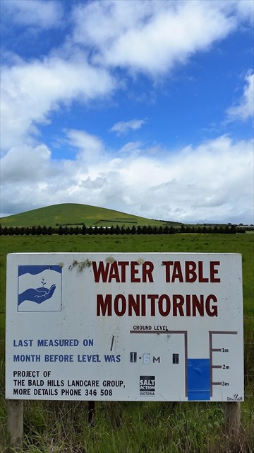
Water Table Monitoring (WTM)
Long term groundwater monitoring aims to detect groundwater trends that may be attributable to land use change or the adoption of certain land management practices. It is sometimes difficult to make an assessment, even with more than five years of data. On top of this, there have been abnormal climatic events to account for, such as the extended dry period experienced since the mid to late 1990s.
Volcanic Rises/Plains Land Management Units (LMUs)
The landscape is typified by gently undulating rises with scattered, but prominent volcanic cones. Groundwater generally moves through the basalt over a distance of some tens of kilometres before emerging in deeply dissected creek lines or where basalt thins. In addition to these intermediate to regional flow systems, localised groundwater flow cells emerge as springs at the base of volcanic cones.
Salinity and Groundwater
Dryland salinity results in damage to agricultural land, downstream water users, aquatic ecosystems and biodiversity, and to regional and urban infrastructure such as deterioration of road and building foundations from shallow, saline groundwater.
Ref: Victoria's Salinity Management Framework, August 2000