Vardetangen - Norway's westernmost point of mainland
Alt vest for dette er øyer! Der er merket rundløype på ca 5 km til det vestligste fastlandspunktet i Norge, Vardetangen og videre til en flott badeplass i Årvikane, denne er tilrettelagt med bord og toalett. Rundturen går videre på sørvestsiden av Fonnesvågen, forbi ferskvann og på idyllisk bygdevei tilbake til parkeringsplass ved Vardetangen hurtigbåtstopp. Du kan selvfølgelig også starte turen ved molo i Nordre Fonnesvåg.
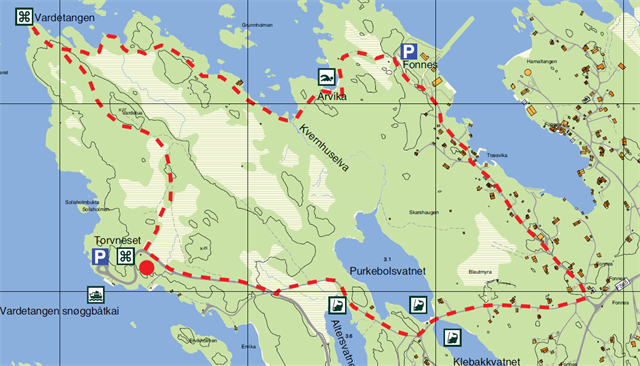
Merking: Informasjonstavle ved startpunkt. Skiltet og merket etter ny løypestandard.
Gradering: Grønn. Lett fottur. En støvel etter DNT-systemet
Høydeforskjell: 0 – 25 m moh. Samlet stigning er ca 50 meter
Tidsbruk: Hele rundturen tar ca 2 timer (+ leting etter cacher)
And the trail continous....
The whole round trip takes about 2 hours (+ finding caches).
You may park at N 60° 48.235 E 004° 57.188 where the trail begins, or at the express boat jetty.
The first leg of the round trail goes through heathland and shrub to Vardetangen, the westernmost point of
mainland Norway. There you will find a large stone cairn erected in 1996 to mark the westernmost point
of Norway’s mainland. Below the cairn there is a stone plaque with the position coordinates engraved. Remember to write your name in the visitors’ book that you find in the mailbox.
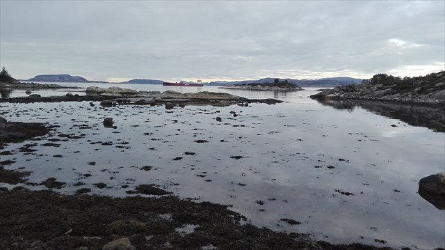
This leg of the trail goes along the seaside, with its narrow inlets and sloping rocks, to the bathing
beach at Årvikane, where there are benches, rubbish bins and toilet facilities.
From Årvikane you follow the trail to Nordre Fonnes. If you are going back to where you started, you follow the paved road back to the trail’s starting point.
It's an easy walk, totally "climb" is ca 50m, but it will take 2-3 hours
You may read more: www.bilvandring.com/pdf/SJTUR51K-V000-00053d-pd.PDF