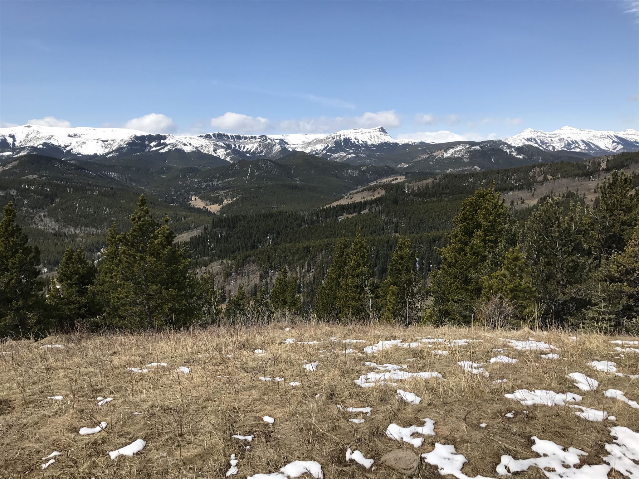
View near GZ
Enjoying the Indian Graves Trail
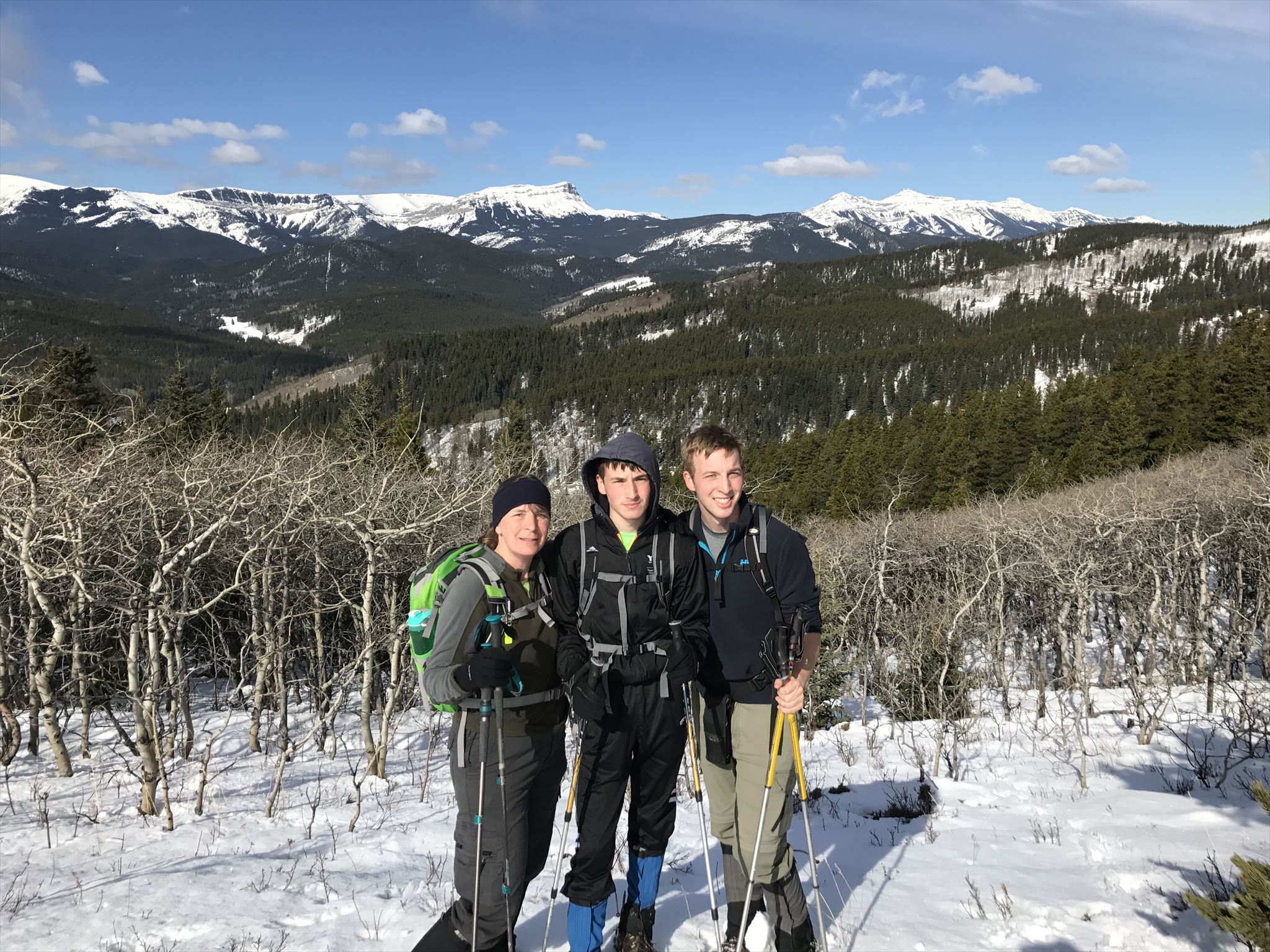
We had a great family hike along the Indian Graves / Willow Ridge Loop. I decided to place a cache to mark the occasion after ascending one of the many elevated spots along the Indian Graves portion of the loop. Parking can be found along the side of Hwy 532 at the posted coordinates by the access gate. The first objective can be seen straight up from parking at the rocky outcrop 800m from parking and 160m in elevation gain. You will reach a gate at the posted waypoint. There are trails on both sides of the fence. I find not passing through the gate and staying on the east side to be the best trail with views and you end up having to cross the fence just past this cache anyways. From there, follow the ridge staying high to GZ which is 1.9km one way from parking with an elevation gain of 230m. You can return the way you came for a round trip hike under 4km or continue on to the summit and the complete the loop on the Willow Ridge side. The complete loop will involve a reversal (80m down, 160m up) to descend from Indian Graves and ascend Willow Ridge. The total distance for the loop will be just under 9km round trip. The reverse direction of this loop is really good if you prefer to do the "up" portion gradually and have a very steep "down" portion.
The cache is a small square L n' L.
As always, remember you are in the back country and come prepared for varied terrain, weather and possible animal encounters. Bear spray is strongly recommended. Let people know where you are going and if possible, try not to travel alone.