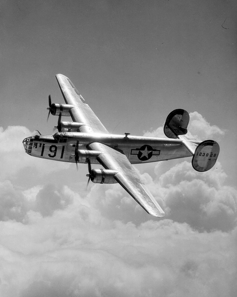
Crash of Liberator EW 134 G
 U.S. Air Force photo
February 3, 1945.
Liberator EW 134 G had just returned to duty after undergoing maintenance at Boundary Bay. The plane was returning from a cross-country training exercise when it began developing engine problems towards the end of its flight.
The plane came in southbound, down Pitt Lake and turned left, where it followed the Fraser River at low altitude as it made its way towards Abbotsford and home. Witnesses saw the plane flying just a few hundred feet above the water as it passed by the Hammond Cedar mill and the Maple Ridge Golf Course, with one of its side doors open.
Both the engines on the left side of the air craft had sputtered to a stop. Unable to make the turn to the right towards Abbotsford, the plane would have to turn nearly a full circle in the opposite direction in order to make its approach to the runway. But as the plane began the port side turn, northward toward Grant Hill and the Maple Ridge neighbourhood of Thornhill, the plane suddenly lost altitude, and plunged straight down into the forested hillside.
The seven men, all members of the Royal Canadian Air Force, died instantly.
This geocache is located at the North end of 264th street off 100th Avenue. There is parking by the side of the road near a trail head that leads into a network of walking and horse trails. If you decide to venture farther into the Thornhill trails be sure to stay on the main marked trails.
While nothing remains of this historic and tragic accident, when you find this geocache you will be approximately 250 meters north of the crash site. If you look back south down 264 Street, the ill-fated airplane crashed about halfway down the block, east of the road.
The geocache we have placed here contains more information on the crash and a link to a story about the crash.