Tooradin History Walk Multi-Cache
Please note Use of geocaching.com services is subject to the terms and conditions
in our disclaimer.
Welcome to a short walk around Tooradin highlighting some of it's rich history.
New information signs have been installed around town, you can find these signs in any order you wish but finding them in the order listed below will be the quickest way.
Total walk is around 850m but there is parking near each waypoint if needed.
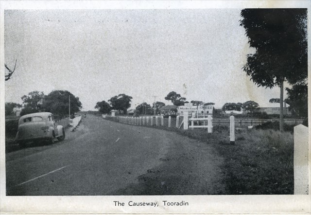
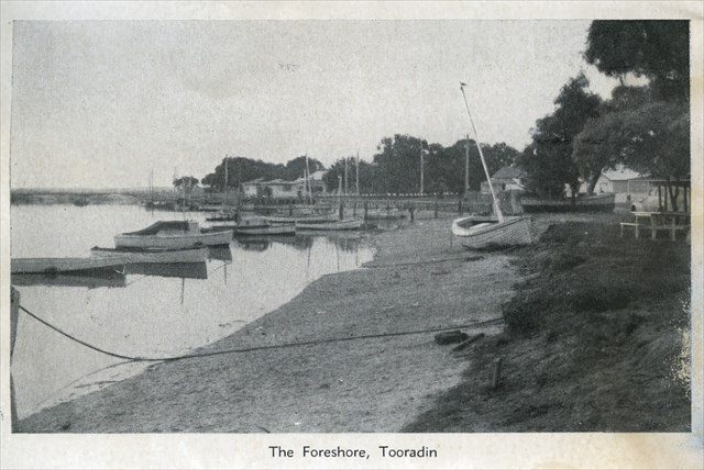
Tooradin is a small township on Sawtells Inlet of some 1359 people (2011 Census) located 64 km south-east of Melbourne on the South Gippsland Highway. It is situated on the reclaimed swampland of Sawtells Inlet at the northern tip of Westernport Bay. Consequently it provides safe anchorage for fishing boats and is popular with both day-fishers and holiday-makers.
Tooradin originates from the Aboriginal word too-roo-dun meaning swamp monster (ie The Bunyip).
The explorer William Hovell came across the part of Western Port that is now Tooradin in 1827. European sealers had come and gone from the foreshore since the early 1800s, but no permanent settlement had been achieved. Both the French and the English had expressed interest in the swampy land of Western Port in the early 1800s.
Tooradin, as a village, began in the 1870s as a depot for road construction material. In 1869, the first subdivision took place and the Tooradin Inn was built. (The former Tooradin Hotel was on the same site.) A store and post office & school followed in 1875. Cheesemaking was a local industry at this time. By 1877, daily coaches travelled to and from Melbourne. In 1888, the railway to Tooradin opened, on the first section of the Dandenong-Port Albert line.
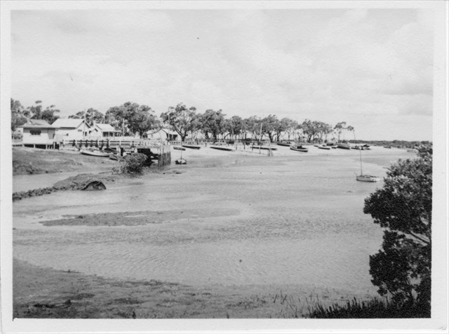
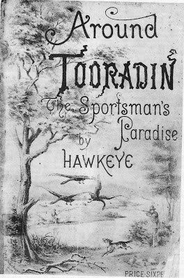
Due to the abundance of game and fish, Tooradin became known as the 'Sportsman's Paradise'. There was also a local fishing industry and a row of fishing cottages on the east side of Sawtells Inlet.
By 1917, Tooradin was a recreational location for city dwellers for whom shooting, hunting, fishing and boating were popular pastimes. In more recent years efforts by the local community and the release of higher land north-west of the town has enabled growth in this low-lying, flood-prone area. In 2009 Tooradin was named as one of the coastal communities most at risk from climate change and rising sea levels over the next 100 years. The duplication of the South Gippsland Highway through to Phillip Island along with the housing developments in nearby Blind Bight, Cannons Creek and Warneet have further contributed to the development of the town.
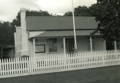
The Foreshore Committee (formed in 1934) has been responsible for the restoration of the 'Fisherman's Cottage' (1875) - purchased in 1968 by the Cranbourne Historical Society and financing of the boat ramp. In addition to the cottage there are two heritage homesteads: Harewood (1868) and Tooradin Estate (1880s).
Tooradin is also famous for being the birth place of the Royal Automobile Club of Victoria (RACV) when the founders of the club took a day trip to Tooradin in 1903.
Waypoint 1- Water Hole
How many letters in the animal's name listed & pictured on this sign? Answer= A
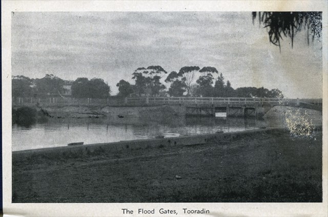
Waypoint 2- Tooradin Bridge & Flood Gates
What year was the Inlet dammed? Answer - 1892= B
Waypoint 3- Tooradin Garage
What was the subdivision lot number the garage was built on? Answer= C
Waypoint 4- Sawtells Inlet
How many letters in the first name of Mr Sawtell? Answer= D
Waypoint 5- Tooradin Hotel
The year the Hotel was demolished minus the year on the front wall stone? Answer - Answer - 99= E
Waypoint 6- Low Tide Jetty
How many pictures of the jetty are on this sign? Answer= F
Waypoint 7- Beacon Light & Camping Ground
The year the lamp was improved and the main jetty repaired? Answer - 1910= G
After visiting all the waypoints, the final for this geocache can be found at:
S 38° B.GCF
E 145° E.ACD
GZ can get quite busy especially in the warmer months, please take care retrieving & replacing.
BYO Pen
Please replace cache as found
Unactivated trackable for FTF
Congratulations to buhfuhguh for FTF here
Info from: victorianplaces.com.au, tooradinforeshore.org.au, heritageaustralia.com.au , caseycardinialinkstoourpast.blogspot.com.au
Additional Hints
(Decrypt)
TM: bss gur fvqr
Treasures
You'll collect a digital Treasure from one of these collections when you find and log this geocache:

Loading Treasures