Wandertag – Eifelsteig #10
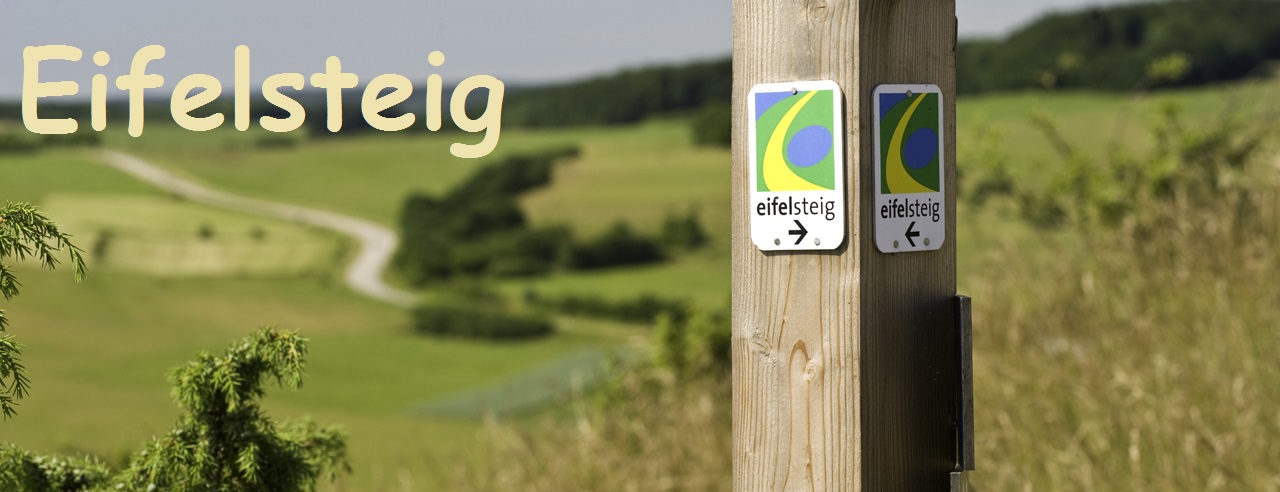

Der Eifelsteig ist ein Wanderweg, der auf 15 Etappen und 313km durch die Eifel von Aachen-Kornelimünster bis nach Trier führt.
Viele weitere Infos zum Eifelsteig inklusive GPX-Tracks findet ihr auf www.eifelsteig.de.
Hier findest du eine Bookmarkliste der aktuellen Eifelsteig-Wandermultis.
Etappe 10
Diese Etappe führ euch von Gerolstein bis nach Daun. Noch in Gerolstein beginnt der erste Aufstieg über Treppenstufen zur aus dem 12. Jahrhundert stammenden Burg Löwenburg. Dann geht es über schmale Waldpfade zum nächsten Höhepunkt der Etappe, der Dietzenley, die mit ihrem hölzernen Aussichtsturm weite Ausblicke in die Umgebung bietet. Nach dem Örtchen Neroth folgt ein steiler Aufstieg zum Nerother Kopf, einem erloschenen Vulkan. Auf der Spitze des Berges thront direkt neben einer Mühlsteinhöhle die Burgruine Freudenkoppe aus dem 14. Jahrhundert. Hinter der Einkehrmöglichkeit "Neunkirchner Mühle" folgt der letzte Aufstieg vor der Ankunft in Daun.
Die Etappe ist 24 km lang (Aufstieg: 700 m, Abstieg: 600 m). Zwischen Gerolstein und Daun fährt die Buslinie 500 (Fahrplan). Bushaltestellen und Parkplätze sind als zusätzliche Wegpunkte mit angegeben.
Cache
Die Wegpunkte zum Cache sind bereits vorgegeben und einfach zu finden. Falls ihr Probleme habt, oder sich etwas geändert haben sollte, ist euer Feedback und ein neues Foto sehr willkommen.
Bitte druckt euch das Bilderraster aus, ihr benötigt es für den Cache!
An den Wegpunkten 0A-0I müsst ihr jeweils ein Foto identifizieren und den Zahlenwert des Bildes dann dem Buchstaben des Wegpunktes zuordnen. Es gibt mehr Fotos als Wegpunkte.
Den Cache findet ihr bei
N50°1I.GCF | E006°DB.HEA
Viel Spaß!
Auf dieser Tour durchwandert ihr Naturschutzgebiete. Bitte beachtet das Wegegebot! Für diesen Cache müssen dort zu keiner Zeit - auch nicht an den Wegpunkten - die Wege verlassen werden! Bitte verhaltet euch entsprechend der Regeln des Naturschutzgebietes! Für den Cache müsst ihr den Weg für einige Meter verlassen. Der Cache liegt jedoch nicht im Naturschutzgebiet. Bitte gebt trotzdem acht auf die Natur, das Versteck ist so offensichtlich, dass ihr nichts zerwühlen müsst.
|

The Eifelsteig (Eifel trail) is a hiking trail of 15 stages and 313 km, that leads through the Eifel from Aachen-Kornelimünster to Trier.
You can get a lot of information about the trail (including gpx-tracks) at www.eifelsteig.de.
Here you will find a bookmark list of the current Eifelsteig Hiking Multis.
Stage 10
Right at the beginning of the 10th stage of the Eifelsteig from Gerolstein to Daun you have to climb up steps to the the ruins of the medieval castle of Löwenburg. After some kilometers on forest trails you reach another hightlight of the tour, the Dietzenley with its wooden view tower. Enjoy the scenic view into the Kyll-Valley and across the volcanic Eifel. Some kilometers later you pass the small village Neroth and afterwards begins the steep ascent to the extinct volcano "Nerother Kopf" with a millstone-cave and the ruins of the castle "Freudenkoppe" from the 14th century at its top. After the restaurant "Neunkirchner Mühle" follows the last ascent to Daun.
The trail is 24 km long (Ascent: 710 m, Descent: 600 m). Between Daun and Gerolstein runs the bus line 500 (timetable). Parking facilities and bus stops are listed as additional waypoints.
Cache
The waypoints for the cache are given. You do not have to calculate anything during your hike. All points should be easy to find.
You need a print-out of this photo collage for this cache!
At the waypoints 0A-0I you need to identify one single picture and assign the number in the picture to the letter. There are more pictures than waypoints.
The stash is located at:
N50°1I.GCF | E006°DB.HEA
Have fun!
On this hike you will walk through nature reserves. Please respect the nature and do not leave the paths there! For the cache you have to leave the path a few meters. Nevertheless respect nature when searching!
|
 ***Betatest: Vielen Dank an luxo81!***
Wenn du alle 15 Eifelsteig-Multis gefunden hast, kannst du dir gern das folgende Banner in dein Profil einbinden / If you have found all 15 Eifelsteig multis, you are welcome to embed the following banner in your profile:

Code:
<a href="https://coord.info/BMCFNQE" target="_blank"><img src="https://www.dropbox.com/scl/fi/cz9bf4l8jjvzoy4091jxk/Eifelsteig_Banner.gif?rlkey=iuq4w3m6pvm14wr4yh7z66s3y&dl=1" />