Located on Higyway 35, west of Moore Lake and about 500m south of the Trilogy Trail is a small rock outcrop of highly strained grey-coloured gneisses including coarse grained, bright pink granite pegmatite which has intruded into the deforming gneiss.
Close to the northern end of this outcrop is a fine example of a Trachyandesite dike.
Trachyandesite:
Trachyandesite is an extrusive igneous rock with a composition between trachyte and andesite. It has little or no free quartz, but is dominated by alkali feldspar and sodic plagioclase along with one or more of the following mafic minerals: amphibole, biotite or pyroxene. Small amounts of nepheline may be present and apatite is a common accessory mineral.
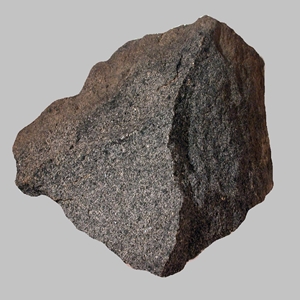
At this location, the trachyandesite dike displays a grey coloured, medium-grained igneous rock that is much younger than the surrounding Grenville rocks, and dates to the breakup of the supercontinent Pangea, 180 million years ago. During this time, eastern Canada was being stretched which allowed mantle magma to be injected upward into the overlaying brittle crust.
To log this earthcache:
Rules:
All observations can be made within 3 metres of the shoulder of highway 35. Remember to park on the shoulder and put on your 4 way flashers.
Please send me your answers within 4 days of posting your found log. If there is more than one cacher in your party, include the names in your group. Only one person needs to send me the group answers. No spoiler photo's please. Found logs posted without proof you visited the site will be deleted.
If you are having a hard time finding the dike, there is a spoiler photo of a section taken near the ground which should help spot the difference between the gneisses and trachyandesite dike. There is also a small poplar tree at the base of the dike.
Questions:
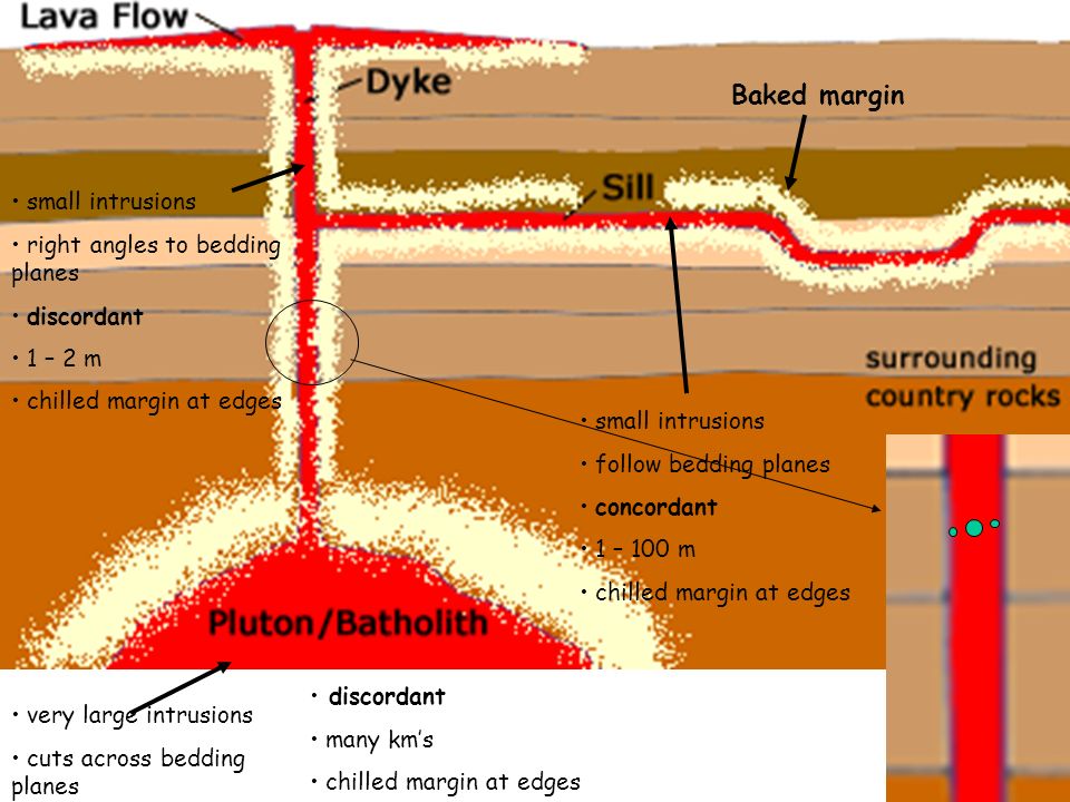
1. Compare the edge of the dike where it intrudes up against the older gneiss layer. Is there evidence of a break in the rock or does the trachyandesite dike appear to be melted into the gneiss to form a seamless layer?
2. Look at the layers in the gneiss? Are they horizontal or vertical to the road? Now compare the trachyandesite dike. Do you see any layers in the rock or other intrusions in this rock?
3. Does the trachyandesite dike extrude from the top of the rock outcrop of is there a layer of older gneiss on top of the dyke?
4. Measure the angle of flow of the dike. Use a protractor if you have one, or draw the angle on a piece of paper to check when you get home. What is the approximate angle of the dike? (Note: The road or ground is the horizontal plane).
5. With your back to the road looking at the rock outcrop, how wide is the trachyandesite dike?
6. Photo's are optional but are welcome. Please no spoiler photo's
references
Road Rocks Ontario: Over 250 Geological Wonders to discover

| I have earned GSA's highest level: |
 |