Skip to content

Rubicon Trail: Clearing Traditional Cache

Hidden : 6/28/2017
Difficulty:
1.5 out of 5
Terrain:
2 out of 5

Size: Size:   micro (micro)

Join now to view geocache location details. It's free!

Watch

How Geocaching Works

Please note Use of geocaching.com services is subject to the terms and conditions in our disclaimer.

Geocache Description:

This is one of several geocaches along the Rubicon Trail, from the trailhead in D.L. Bliss State Park to the Vikingsholm house in Emerald Bay. It passes some lovely forest area and offers gorgeous views of Lake Tahoe and Emerald Bay. The trail is 3.5 miles long. Today the hike (in the uphill direction) took me 1 hour 15 minutes, without trying too hard.

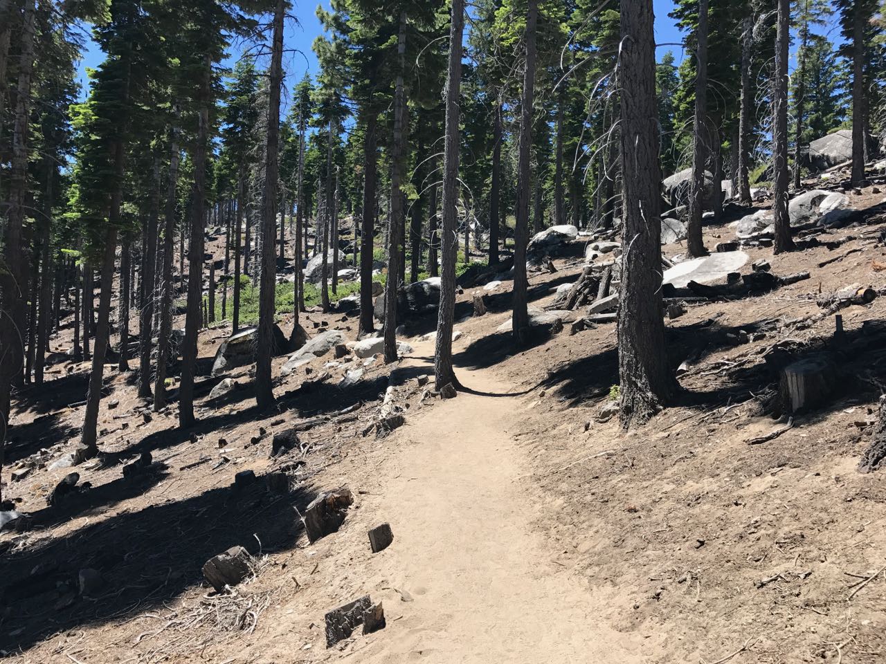
This geocache is in a clearing in the forest, evidently due to a forest fire a number of years ago. There are some amazing boulders here.

NOTE: As of 8 May 2024, the main entrance to DL Bliss State Park is closed, and so one cannot hike to this cache from DL Bliss. However, if one parks 350 meters (380 yards) to the south of the main entrance, one can hike down to the main Rubicon Trail, and from there northward to this cache, or southward to Emerald Bay and Vikingsholm. In particular: Park on Hwy 89 at N 38°58.5301' W 120°06.0146', then hike east heading to the "Rubicon trail: View platform" cache (GC783VW), or, more accurately, to: N 38°58.722' W 120°05.736'. There is a trail, but it is quite steep near the end.

Additional Hints (Decrypt)

Haqre fbzr ebpxf, ng gur fvqr bs n irel ynetr obhyqre, 20 zrgref (65 srrg) hcuvyy sebz gur genvy; abg va gur "pnir".

Decryption Key

A|B|C|D|E|F|G|H|I|J|K|L|M
-------------------------
N|O|P|Q|R|S|T|U|V|W|X|Y|Z

(letter above equals below, and vice versa)