
As an earthcache, there is no “box” or “container” to discover. Rather, with this cache, you discover something about the geology of the area. For more info, consult www.earthcache.org
Welcome to Helvellyn: the highest point of the Helvellyn range and the third-highest point both in England and in the Lake District. There are some amazing views from up here over the Lake District and it is a popular tourist destination. This EarthCache is to teach you about some of the geological features of the mountain.

The summit of Helvellyn is a large plateau. It is so smooth and flat a small aeroplane landed on it in 1926. There was a tablet placed in commemoration of this and it is just south of the stone shelter. There is also a trig point at the top. The walk up is not easy, so make sure to be prepared, know the weather and bring a compass, map etc.
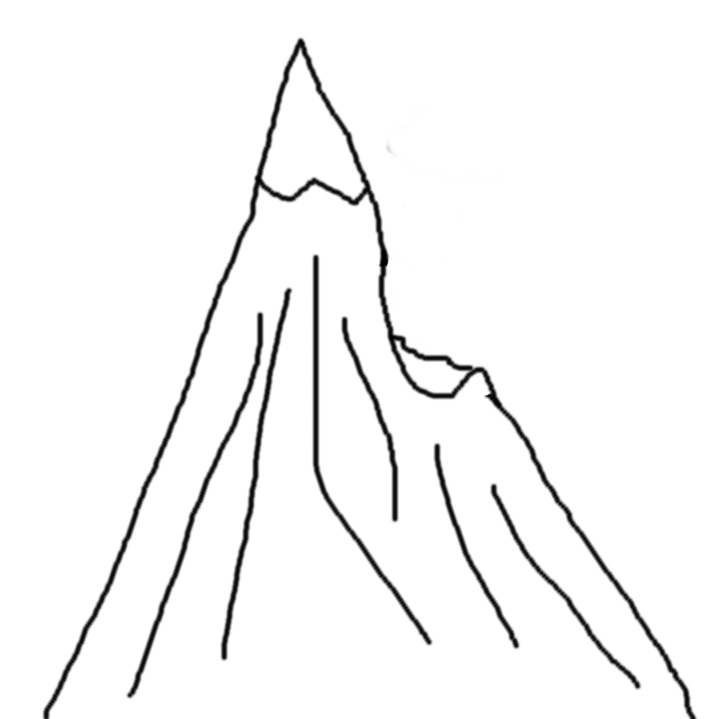
Around 28,000 to 14,700 years ago a period occured known as the Late Devensian glaciation. During this time the entire of Northern England was covered in a large sheet of ice. However, Helvellyn and some of the other high peaks in the Lake Districts protruded above the ice and became 'nunataks' (see attached image). Later, around 12,650 and 11,550 years ago was another glaciation known as the Loch Lomond Stadial (or the Younger Dryas stadial) took place. This happened because of the Gulf Stream, which usually helps keep Ireland and the western coast of Great Britain a couple of degrees warmer than the east, which ceased to flow past the British Isles.
Corries
One very prominent geological feature that can be seen from the summit are the corries, otherwise known as the cirques. Corries are large hollows in mountain ranges that are caused by glaciation. You can see one very obvious corrie to the east of the summit known as the Red Tarn. An image is attached. There are also other examples of corries such as the Nethermost Cove just south of the Red Tarn and the Brown Cove just northwest. Corries usually have steep sides, large back slopes and contain many loose rocks.
Formation of Corries

Snow gathers together on a north or north-east facing slope. This is because it usually gets the least sunlight here.

The gathered snow compacts and turns into ice. The weight of this ice making cracks in the slope.

In the summer the ice melts and runs into the cracks in the rock. It then turns back into ice in winter, expanding and breaking down the rock. This is known as freeze thaw.
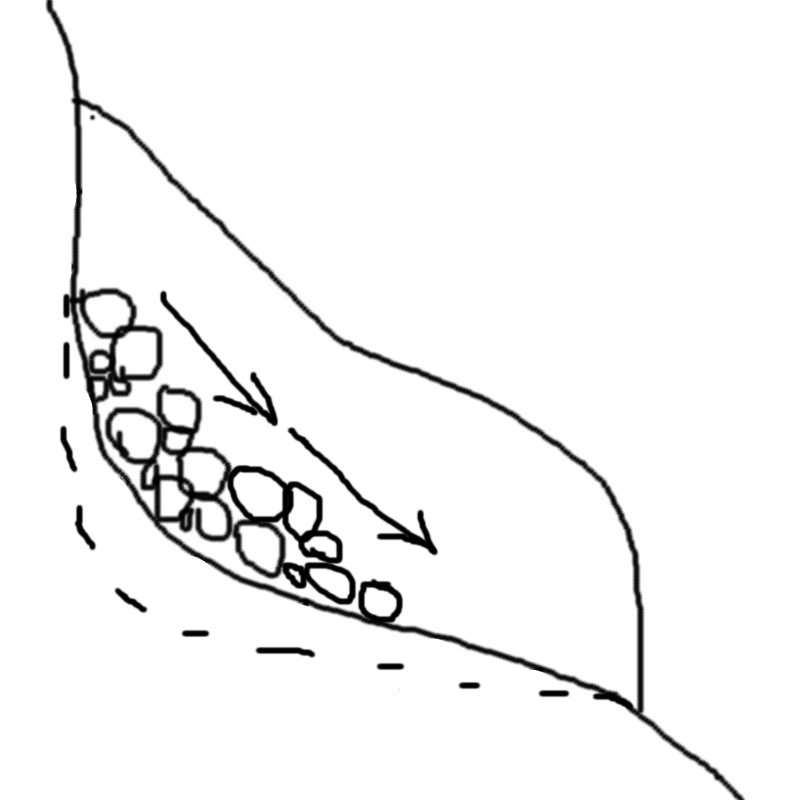
The ice at the base of the glacier will slip and drags the rocks embedded in it forward. This is known as rotational slip. The jagged rocks scrape against the surface of the slope, deepening the hollow further. This is known as abrasion.

These processes continue for thousands of years, making the hollow deeper and deeper.
Eventually the ice goes so far it starts to melt in the sunlight, so it has less energy and can erode less downwards, forming a lip. The glacier will eventually melt and will occasionally form a tarn like you can see in the Red Tarn below you.
Q1: What do you notice about the area in between the Red tarn and the Nethermost Cove? How do you think this may have formed?
Q2: What do you notice if you look at the foot of the back wall just above the water line? How and why do you think they are there?
Q3: Which wall of the corrie is the steepest? Why do think this may be?
[OPTIONAL] Q4: Upload a photo of the views, the trig point, or anything you can see from the mountain in your log!
In order to log this EarthCache you must send me the answers via the Geocaching message feature. If I don't receive the answers within 48 hours of your log, it will be deleted. While you're here I also recommend you try Helvellyn AW EF 1 (GCTEQK) and Helluva long walk! (GCGPTF) Good luck!
If you have logged this EarthCache and sent me the answers you can display the following image on your profile page.


Image by Tim Stevens
EarthCache placed with the kind permission of the John Muir Trust