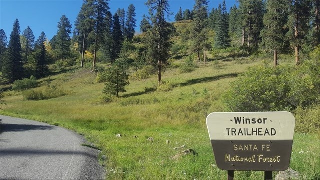
Placed on a beautiful fall trek, this 9-stage geocache can be done in many different ways. If you are feeling particular fit, go for a single day push! If you prefer to take your time you can do the route as an enjoyable multi-day backpacking trip. Or if you prefer shorter day hikes, make several trips using the many different trailheads which can access the Winsor trail at different locations. However you accomplish this hike, it will be a rewarding journey on some of the best trails in the Santa Fe area. enjoy!
Some notes about this cache
Because I want everyone who goes after this cache to have a rewarding trip, finding the container should not be the hardest part. That said, I recognize that in some locations it may be difficult to get accurate coordinates due to the nature of the topography (my coords may also be slightly off, as is often the case when taking coords in the mountains). Because of this I have included a generous picture hint for each stage. I suggest you make sure you have access to this for your hunt. The first eight stages are all small plastic preform tubes, with the coordinates for the next stage written on a slip of water-resistant paper. You should be able to read the coordinates without opening the lid. Please, do not open the preform tubes unless absolutely necessary to get the coordinates.This will aid in the longevity of the cache, hopefully preventing moisture from getting into these containers.
UPDATE June 2019
Stage 6 may be missing as there is recent deadfall around it and I could not find it on my last check. This stage is now OPTIONAL. To skip stage 6:
- Add 0.273' to the Stage 6 North Coords
- Subtract 1.102 from the Stage 6 West Coords
This will give you coordinates for Stage 7. Stage 6 may still be findable, and I encourage anyone hiking the route to stop by and give it a look. But this way, you should still be able to complete the route should it prove to difficult to lcoate Stage 6 in all those fallen trees.
