Welcome to GC7DEYX Queen of the Rockies Letterbox Hybrid cache. Mounted and dismounted GPS assisted, terrain association, and orienteering navigation techniques will be required to reach the final. Please be prepared for terrain and weather conditions typical with this part of the Rocky Mountains. Note the listed attributes.
During my geo-travels across the continent, I have seen many "tribute caches" placed to honor a geocacher. I have always thought about placing some tribute caches, but in the end, decided against it. In my opinion, a proper tribute cache would require something special that captures the essence of the named geocacher’s geo-personality. This can be a difficult and time intensive task. For example, I can think of at least one cacher I considered doing a tribute cache for. In her case, to do it right; I would have to make a placement requiring you to hike to Antarctica and back, make a challenge requiring you to collect Eagle tail feathers, and poke a bear with a stick to retrieve the final container. Perhaps even more difficult, I would be forced to require finders to learn to fly a high performance, transport aircraft without ever bothering to certify on its most important function…to drop paratroopers. However, this cacher did earn the epitaph “Queen of the Rockies” for her propensity to hike, crawl, drive, and climb all over the Rocky Mountains. Somehow packaging all of that into a single cache seemed like too much work.
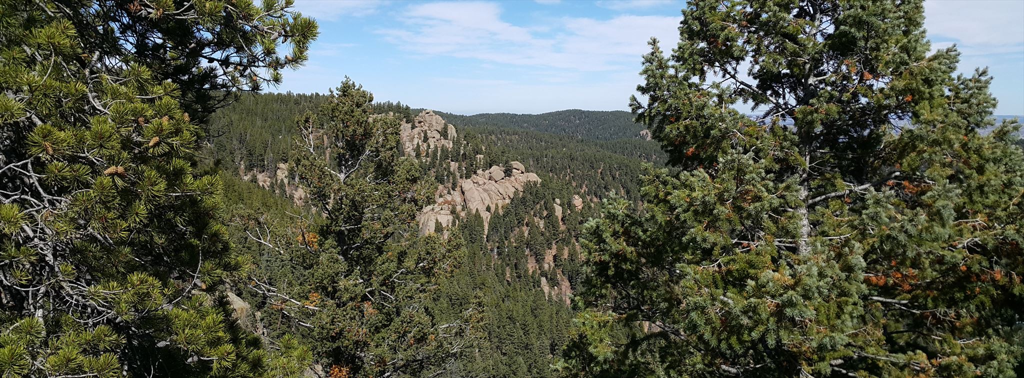
In order to reach the Queen’s Throne (the final), cachers will have to navigate to and find a container at the posted coordinates, two waypoints and a final…the Queen’s Throne. Each stop will provide either coordinates or orienteering instructions to your next stop (28 Aug 23 Update: all way points now provide just coordinates because my GPS failed to calibrate and validate Nav instructions). Cachers will be required to determine when to use mounted or dismounted movement, select their own parking and dismount points, and employ different navigation, search and measurement techniques. The straight line distance between all points is 2.27 miles; but you will not be able to travel in a straight line. The cache is designed to accommodate both 2WD and 4WD vehicles, although 2WD drivers may have to hike a bit more (28 Aug 23 update: the road to the posted coordinates in now closed, so all cachers will have to hike).
Please note that waypoints have multiple copies of thier coordinates to hedge against exposure. Please do not remove them from thier containers.
Good Luck and enjoy the hike, hunt, and navigating.